 |
| Highway 67 revisited |
 |
| Traffic lanes coming right at us |
 |
| The trail continues |
 |
| Across a bridge. |
 |
| Bougainvilleas gone wild |
 |
| "EC" for El Capitan. |
 |
| This is supposed to say "San Diego River" but it's been bleached out by the sun. Kind of a metaphor for the day. |
 |
| This is where the river crosses Highway 67. Next highway crossing is ~ 20 miles away and 3000 feet up |
 |
| Looking along the bottom of the riverbridge |
 |
| Looking back it all fades away |
 |
| Nobody is on this trail today |
 |
| The Jungle is wilting, Off in the distance is the bridge over San Vincente Creek |
 |
| Some abandoned shack |
 |
| Mosquito abatement |
 |
| Baseball fields at Cactus park west. |
 |
| Shaved ice truck |
 |
| yellow fuzzies |
 |
| Cactus Park east |
 |
| One for the horserider, one for the hiker. This would be so cool if it weren't so useless They actually have signs specifically warning you that cars might not stop, which they didn't. |
This is an area in flux. Apparently the deep groundwater basins here are ideal for artificial recharge and storage / recycling of what was once wastewater. The plan I believe is to mine some of the sand and then use the basin as large infiltration gallery. It will be an important step in making San Diego somewhat more self sufficient with respect to water, though unfortunately it's on hold presently. So for now all we have are signs.
This was both euphoric and hellacious. I loved the wild lands, the absence of roads, or noise, and the sense that we were now surrounded by peaks. It was also really freaking hot. The El Monte Valley seems to be like a giant oven much of the year trapping mad heat between its steep walls. Though I have only been here two times before, I was overheated on both occasions. Today I tried to "think cool" but it was not working for us.

One of the problems of heat exhaustion is that the person suffering from it does not always realize how much trouble they are in. Dry heat is particularly sneaky as you loose water without sweating visibly. I have learned to recognize some of the symptoms just through experience alone and could tell that Anita and I were both getting crankier by the step. We sat down in some rare shade and nearly had a fight (rare for us).
They say a successful journey is not one where the goal was reached, but one where everyone comes home in one piece. I think this was the kind of success we were going to be settling for today. I checked the map and saw that there was a road and a park not too far away and hopefully some shade.
This valley has turned me away several times before for heat and rugged topography. Today it was happening again.
I left Anita with the horses while I took a shortcut back to the car. The following pictures are ones she took while recuperating in the shade.
When I arrived with the car, I was apparently also a bit delirious from the heat and not sure what next to do. We needed to get the bike so we went back to El Monte Park and had picnic. It'll be nice when we get there for real. I was not too bad for the last half hour before the park closed on us. We did get 1.5 to 2 miles done today and I can probably work the logistics of starting off not too far from where we stopped today. So I leave with some images from our rest and sign off and grab a well deserved beer.
 |
| Helix water district is up to something here. |
 |
| This IS the river |
 |
| Anita in the sandy river bottom. |
 |
| Sometimes it's choked with brush. |
 |
| Started taking selfies like those other guys doing long walks. |
 |
| Just a maze of brush and green grass and sun |
This was both euphoric and hellacious. I loved the wild lands, the absence of roads, or noise, and the sense that we were now surrounded by peaks. It was also really freaking hot. The El Monte Valley seems to be like a giant oven much of the year trapping mad heat between its steep walls. Though I have only been here two times before, I was overheated on both occasions. Today I tried to "think cool" but it was not working for us.
 |
| It's like this for awhile |
 |
| Shadow selfie. This was the only shade we had. |
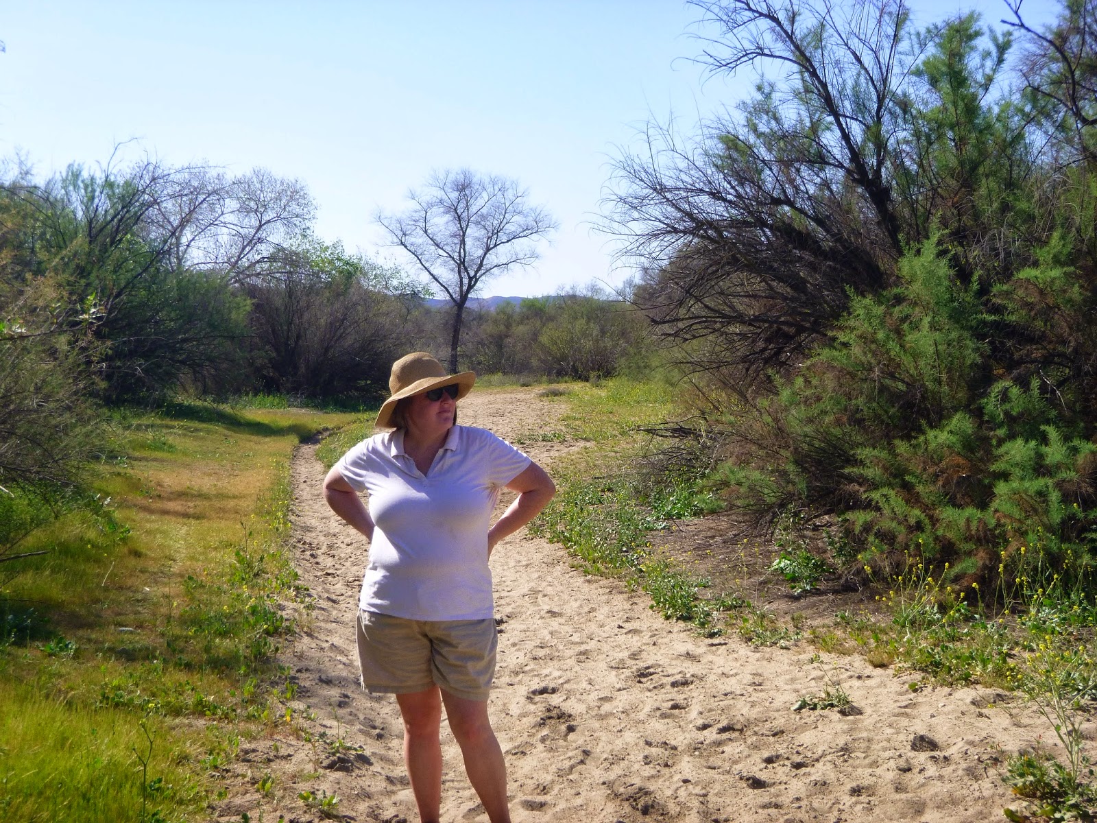 |
| Here's a shot of Anita Just before we decided it was a bad idea to go any further. |
 |
| purple flowers! |
 |
| Yellow flowers |
 |
| This rabbit carcass is also a metaphor for how our walk was going |
They say a successful journey is not one where the goal was reached, but one where everyone comes home in one piece. I think this was the kind of success we were going to be settling for today. I checked the map and saw that there was a road and a park not too far away and hopefully some shade.
This valley has turned me away several times before for heat and rugged topography. Today it was happening again.
 |
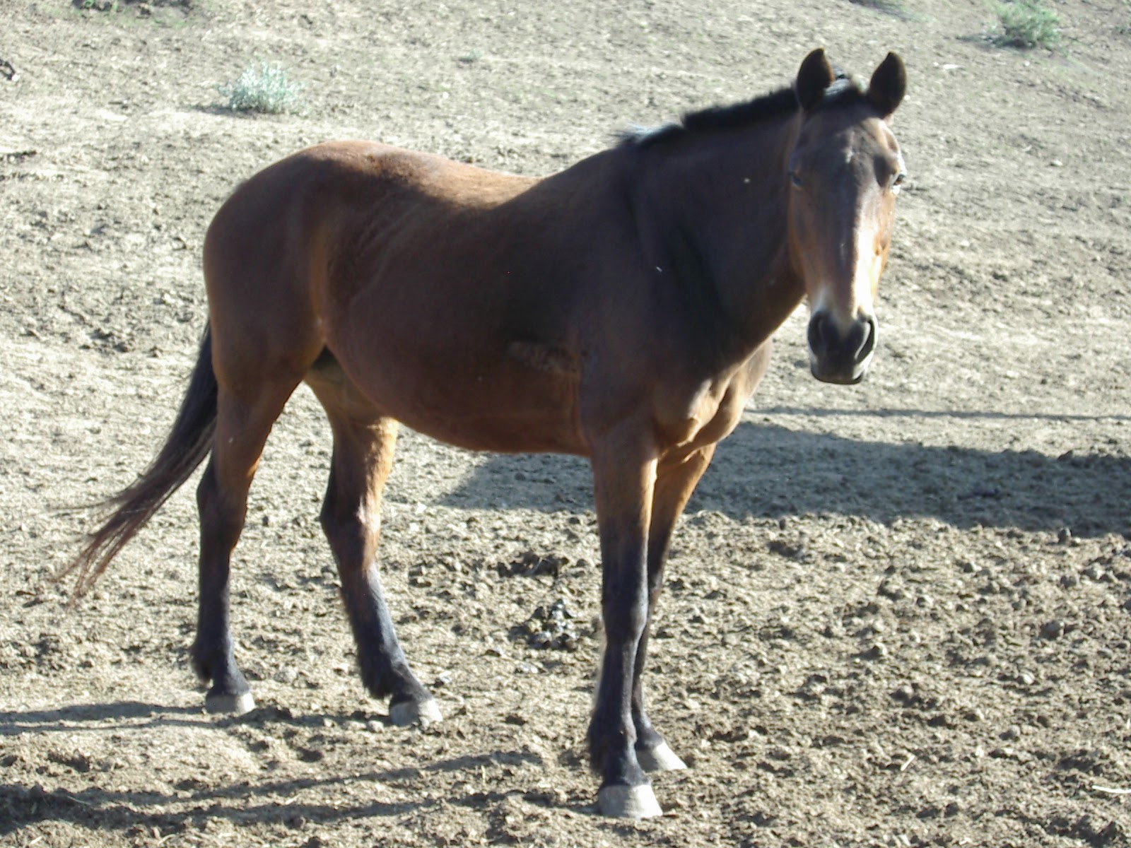
| Horses of the El Monte Valley |
 |
| Anita and the horses, |
 |
| They are very friendly here. |
 |
| Awwww! |
 |
| Out to pasture. |
 |
| In the sun. |
 |
| galloping about |
 |
| Bliss |
 |
| El Monte park again. |
 |
| The famed El Capitan of east San Diego County. |
 |
| A paraglider rises on a thermal. |
 |
| I am thrashed! |
 |
| El capitan in 3-D |
No comments:
Post a Comment