Monday, March 17, 2014

Week 6 and 1/7: The town of cats revisited

Following our retreat in the heat I found myself entering a kind of funk with regards to the remaining river journey.  With temperatures soaring into the 90's this early in the year things did not look very promising.  It's not that much cooler as we rise and shade in the river valley is surprisingly sparse.  So I took some time off and went to Balboa Park and visited the Museum of Man, where I came across the most interesting exhibit to date on the Kumeyaay and their neighbors.  As I was there I happened to run into a group of folks on a field trip as part of a 10-week class offered by Mission Trails Regional Park.  Mentioning this blog and walking project, I got a lot of positive input from the many participants.
As we've been walking I have come to realize how little I actually know about this region through which we are passing and how much I want to know.  There is plenty of history, culture and nature that goes unnamed in this blog because I simply have not learned it yet.  I got a newfound awareness of all the ways local plants were used and what they provided and how people here have lived throughout time.  It has not always been as it is today, and in many ways it was more difficult then, but yet we perceive it as more in harmony.  It was perhaps so, but more due to the relatively low populations compared to the present day.  As we've walked up the nearly dry riverbed that flows through the heart of a city of over a million I wonder what is "harmony" anyway?  We spend less on home heating than elsewhere in the country and on the coasts we don't even need air conditioning.  The price of this idyllic temperature range is that we need to import our water from the Sierra and the Colorado Basin.  Is it perhaps better to settle toe worlds coastal deserts and then import the water, or keep people where they are and keep burning up fuel to heat homes?  Given that most resettlement efforts have resulted in hardship if not outright atrocity on those resettled I'd say we stay put, but I still think about it sometimes: ways to reorganize civilization to live in harmony off less.  I have dreams of being in the Colorado near where it flows into the Gulf of California, looking up the dry riverbed and seeing a wall of water come toward me on all sides.  Powerful really.
It seems there is much river to explore that we go right past, so perhaps we will fill in the weeks where we can go no further by going deeper instead . . .

So the weather is supposed to be cooler next weekend, and the temperatures right along the coast are actually alright, so Anita and I set out for a little excursion to a place we've been to on a previous journey:  The Town of Cats
Though we began on Dog Beach and saw the mouth of the river there, this is also the mouth of the river, albeit more logistically difficult to reach via public trans.  Unlike dog beach which is open, on every map, kind of dirty and often crowded and social, the Town of Cats is a more solitary destination, a single jetty that you're not officially supposed to wander down and no official organization can endorse the exploration of.
Our walk down the Jetty is blocked by a fence, but there is a hole in the fence.  There may have been a time when people believed in fences more and better fences made better neighbors.  We have evolved since then.  It seems here that the agreement is that nobody really cares if you wander past the fence, so long as you come back before 10 PM, avoid breaking other rules, respect the navigational equipment, and don't endanger yourself or anyone else.

Lots of pelicans!
The low part of the jetty separating Mission Bay outlet from the river is a form of flood control allowing more of the river to empty out via Mission Bay after a heavy rain. As long as the tide is below ~ 2 feet it's a an easy walk, though gets slick when wet.  It is also permeable and as the waves slosh beneath it you can hear the air rushing in and out of the little drainage holes in the barrier.
Back on to high ground.
 Out along here you get the feeling of being at the end of the world.  Across the way the Mission Beach jetty also boasts great views, but here we have more solitude.  Still aching from yesterday we made it not all the way out but enjoyed being where we were watching the waves and being present with our hopes and challenges.
Dog beach on the far right.

The more popular and more legal Mission Beach Jetty

Our shadows grow long

Sun reflected off the buildings


meow
I call this place "Town of Cats" after Murakami's 1Q84 and for the many ferrel cats that live here and subsist off 3 sources:   volunteers who feed them every night, scraps from fishers, and decimating the local bird population.  The only birds we see along this jetty are pelicans and seagulls who tend to be big enough to fight back.  otherwise these predators dominate the ecology.   As you walk along you will feel their gazes upon you, and they usually see you before you them.  It cannot be the best existence out here and yet it is.  I think of it like the ruins of Rome which  host a large ferrel cat population of their own.   I wonder what particular mix of conditions it takes for cats to take over ?  It seems they need human detritus moreover small birds and rodents that consume human detritus.  They need human structures, but they also thrive on a certain combination of neglect and attention.  The metaphor of this place cannot be ignored, though Haruki Murakami states it far better than myself.   They seem sometimes so human and relatable and yet simultaneous so much in their own beings, so alien, as if they hold the key to a whole alternate universe.

Camouflage cat.

I am scratching myself!
 You can spend endless time here watching the wildlife, waves and sun; and grow lost, trapped even.  We could see nearly all of the basin, from the summits of the Cuyamacas to the peaks of Mission Trails and all up the valley.  It is not that large a world really, but it is also its own world.  I placed this all in the blog mainly to showcase what the river can be and to draw attention the many expressions found within it, to breathe life into our unique riparian corridor that ties us all together in space and time and shed light on a metaphor.
Sunset over the water
 I leave this little living piece of 1Q84 with some photos of the moonrise over the river and its bridges.  Until next week  . . . .
Sitting on the dock of the bay, not caring about anything outside my own little world.  Just like a cat.

Moonrise over the river

Shimmering reflections under Sunset Cliffs bridge

Higher and brighter


Higher and higher

With all the 1Q84 references I thought I should include a double moon with with the second smaller moon also a bit greener.

Sunday, March 16, 2014

Week 6: Lakeside to Cactus County Park

So begins another phase of our journey:  the end of logistically easy public transit.  Lakeside is the end of the line.  We, however have a car and a bicycle and so use the two in conjunction to ease logistics now.  Lakeside boasts a park and ride lot across from where we boarded the bus and i suspect it does not get much use on weekends.  So we began by locking up the bike in El Monte Park and then making our way back to the park and ride lot.
Highway 67 revisited

Traffic lanes coming right at us


The trail continues

Across a bridge.
Someday we will look back on 2013-2014 as "the year without a winter or spring"  for those of you in the northeastern USA, this may all seem odd, but the same jet stream that brought epic snow and bone chilling cold as far south as Georgia, left Southern California high and dry and often quite warm.  It's like going from summer to fall to summer again.  Today was brutally hot for this time of year.  Whereas normally we'd have soil moisture and evapotranspiration to cool us down, we now have offshore flow and high pressure.  We had drained one bottle of water within the first half mile of walking.  This trail / bike path does not seem to get a lot of use and is heavily overgrown and poorly maintained.  People are however out and about, as the river finally came into view we saw some youth running about the woods doing god knows what. 

Bougainvilleas gone wild 

"EC" for El Capitan.

This is supposed to say "San Diego River" but it's been bleached
out by the sun.  Kind of a metaphor for the day.

This is where the river crosses Highway 67.
Next highway crossing is ~ 20 miles away and 3000 feet up

Looking along the bottom of the riverbridge
 So this is the last highway we cross for awhile.  Route 67 goes from El Cajon up the east side of Poway into Ramona connecting a string of towns that live on threshold of the hinterland yet still passable as bedroom communities for the greater Southern California Megalopolis.   Indeed east of here we are into something quite different from where we came.  The hike and bike path continues into another sports complex.  It seems like there is no end to these baseball and soccer fields along the river.  What's nice about this one is that they are selling ice cream.  Did I mention how hot it is out here?
Looking back it all fades away

Nobody is on this trail today

The Jungle is wilting,  Off in the distance is the bridge over San Vincente Creek
I should mention at this point that we are passing the confluence of the San Diego River and San Vincente Creek.  Both possess large dams not too far upstream and over rather permeable sediments so there is no water visible in either of these water bodies today.   Apparently before the construction of the San Vincente reservoir there were some spectacular floods.  Now the dam impoudns not only water from this local tributary, but also a good bit of the water San Diego receives out of Lake Havasu along the Colorado River.  Needless to say much of our water travels a long way to get here.
Some abandoned shack 

Mosquito abatement

Baseball fields at Cactus park west.

Shaved ice truck


yellow fuzzies
After cooling off with ice cream and refilling the water bottle we make our way over to the horse trail.  Indeed hikers are few in this section of riverbed.  Perhaps sandals were not such a wise choice for footwear . . . . The heat is clearly getting to me in a bad way.  The ground beneath us burns a little.  The trail takes us across Ashwood Street (Wildcat Canyon) the road leading out to Barona Valley.  One thing about being out where the freeway ends is that people try their hardest to ignore the disappearance of the freeway and drive the 2-lane bi-way as if it were a superhighway.  We had to wait a bit to cross at this marked crosswalk and the signage was not particularly encouraging of our efforts.

Cactus Park east

One for the horserider, one for the hiker.  This would be so cool if it weren't so useless
They actually have signs specifically warning you that cars might not stop, which they didn't.
East of Ashwood we descended into the depths of river walk.  I would call them dark as well, but really there was no shade.  Instead the vegetation was just high enough to block any cooling breezes that might otherwise have offered relief from the sweltering heat.  While the transition from pavement to sand put us in closer touch with the earth beneath us it also made our going slower.
This is an area in flux.  Apparently the deep groundwater basins here are ideal for artificial recharge and storage / recycling of what was once wastewater.  The plan I believe is to mine some of the sand and then use the basin as large infiltration gallery.  It will be an important step in making San Diego somewhat more self sufficient with respect to water, though unfortunately it's on hold presently.  So for now all we have are signs.

Helix water district is up to something here.

This IS the river

Anita in the sandy river bottom.

Sometimes it's choked with brush.

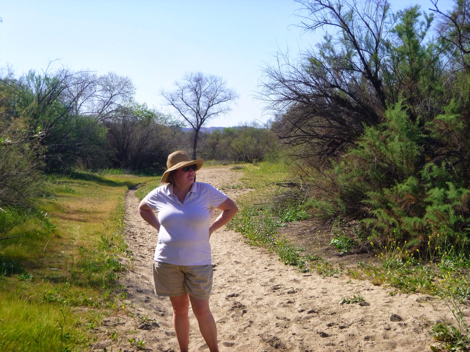
Started taking selfies like those other guys doing long walks.

Just a maze of brush and green grass and sun

 This was both euphoric and hellacious.  I loved the wild lands, the absence of roads, or noise, and the sense that we were now surrounded by peaks.  It was also really freaking hot.  The El Monte Valley seems to be like a giant oven much of the year trapping mad heat between its steep walls.  Though I have only been here two times before, I was overheated on both occasions.  Today I tried to "think cool" but it was not working for us.
It's like this for awhile


Shadow selfie.  This was the only shade we had.

Here's a shot of Anita Just before we decided it was a bad idea to go any further.

purple flowers!

Yellow flowers

This rabbit carcass is also a metaphor for how our walk was going
One of the problems of heat exhaustion is that the person suffering from it does not always realize how much trouble they are in.  Dry heat is particularly sneaky as you loose water without sweating visibly.  I have learned to recognize some of the symptoms just through experience alone and could tell that Anita and I were both getting crankier by the step.   We sat down in some rare shade and nearly had a fight (rare for us).
 They say a successful journey is not one where the goal was reached, but one where everyone comes home in one piece.  I think this was the kind of success we were going to be settling for today.  I checked the map and saw that there was a road and a park not too far away and hopefully some shade.
This valley has turned me away several times before for heat and rugged topography.  Today it was happening again.
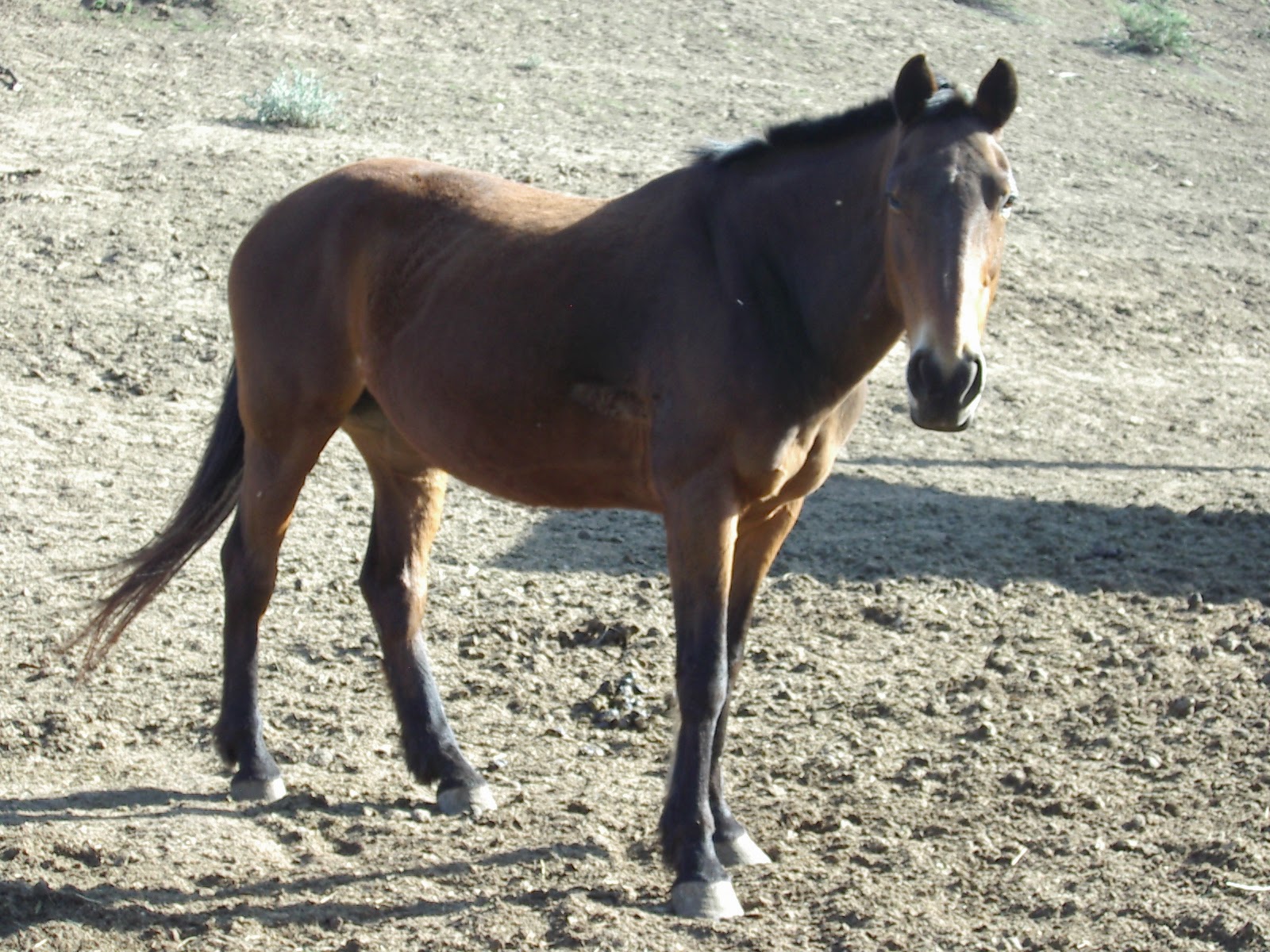
Horses of the El Monte Valley

Anita and the horses,
 I left Anita with the horses while I took a shortcut back to the car.  The following pictures are ones she took while recuperating in the shade.

They are very friendly here.

Awwww!

Out to pasture.

In the sun.

galloping about

Bliss

El Monte park again.
When I arrived with the car, I was apparently also a bit delirious from the heat and not sure what next to do.  We needed to get the bike so we went back to El Monte Park and had picnic.  It'll be nice when we get there for real.  I was not too bad for the last half hour before the park closed on us.  We did get 1.5 to 2 miles done today and I can probably work the logistics of starting off not too far from where we stopped today. So I leave with some images from our rest and sign off and grab a well deserved beer.
The famed El Capitan of east San Diego County.


A paraglider rises on a thermal.


I am thrashed!


El capitan in 3-D