|
| Old town station |
January 25, 2013:
It is a balmy summer day in January when we begin our trek up the San Diego River. Many folks from out of town are surprised to learn that San Diego even has river. Many who have lived here all their lives have barely given it a second thought. I will admit the Hyperion Sewage Treatment Plant in Los Angeles probably outdoes our little river for total flow to ocean, but this little river is ours and it may even be natural. So it is here in old town where we catch the Bus to Ocean beach and meet the river in earnest.
 |
| A river used to be here. |
Between I-5 and the Ocean the river has taken many courses. Hardly more than a century ago it jogged south out Mission Valley, roughly following Rosecrans then round the south side of what is now Liberty Station, into San Diego Bay. Before then it is believed to have gone into what is now Mission Bay. Even longer ago, Point Loma is believed to have been an island. It is the river we credit with bringing enough sediment to connect our city the way it is now. You can still see the depression in the land, and sometimes we even get flooding there. Not today, however. We haven't had a substantial rainfall in over a month and it's looking to be the worst drought in 500 years possibly. As early as 1850 engineers have sought to direct its water away from the bay, toward the ocean, but it was not until the early 1900's that they finally succeeded in this effort.
 |
| Famosa Slough |
 |
| Ocean beach and its colorful utility boxes. |
 |
| The mouth of the San Diego River: Dog Beach |
 |
| And this is where we start |
 |
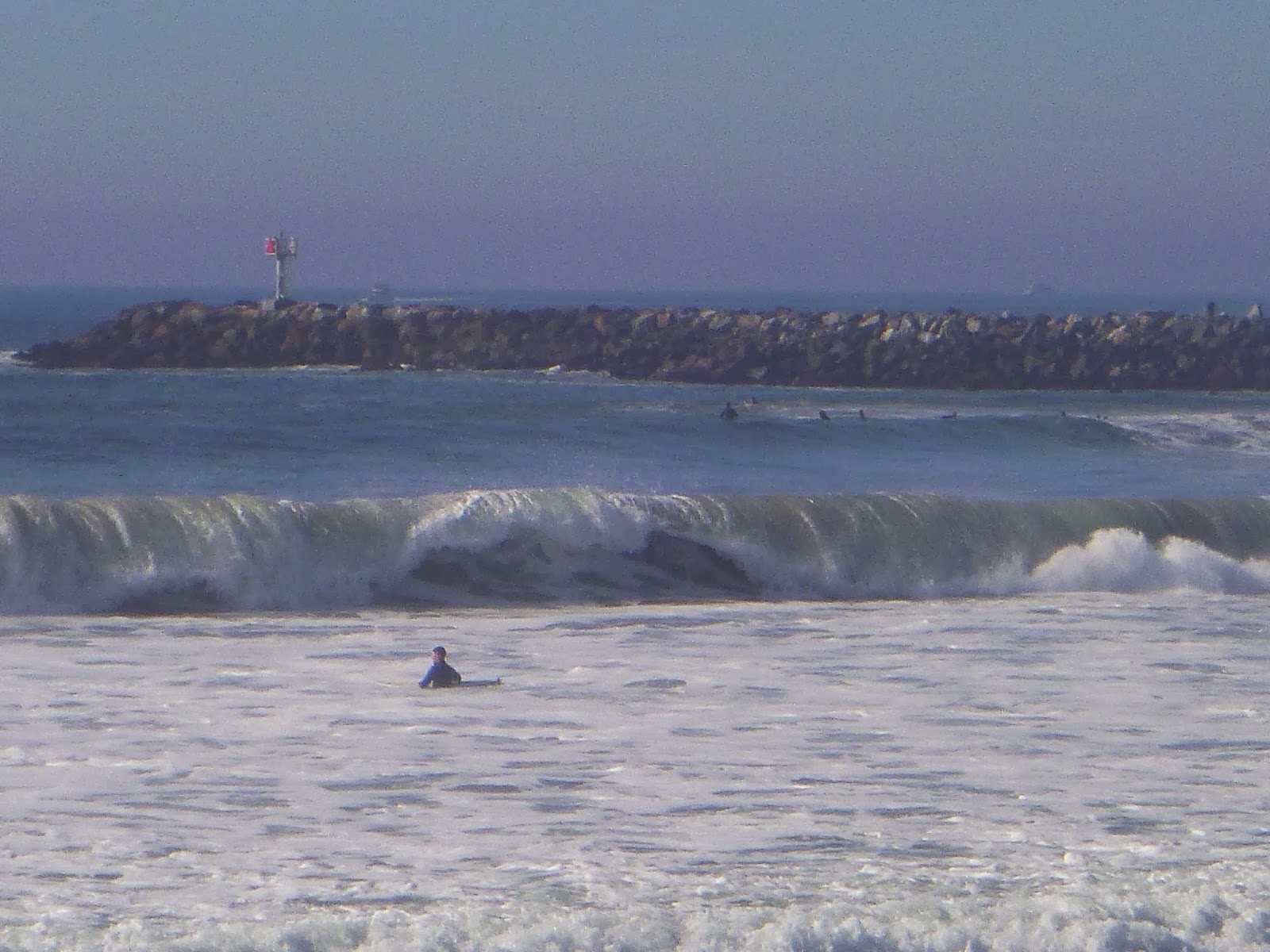
| Big waves off the Pacific |
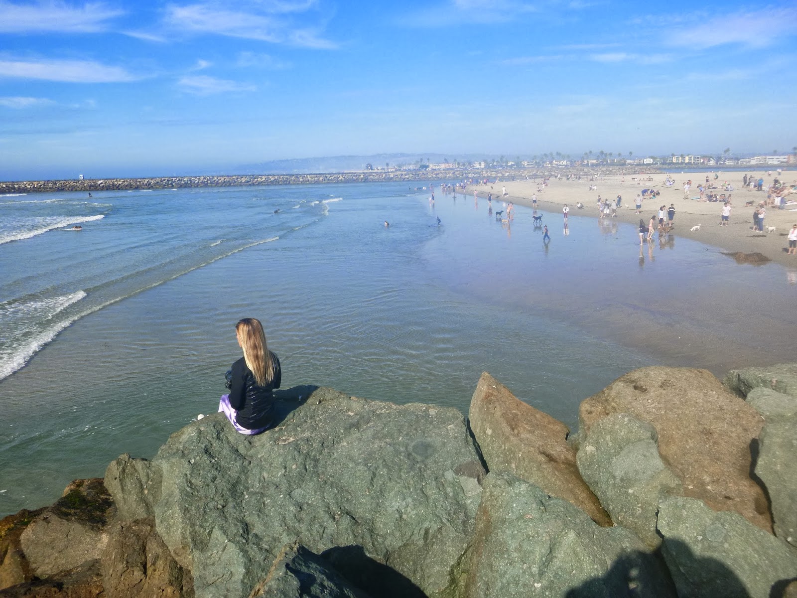
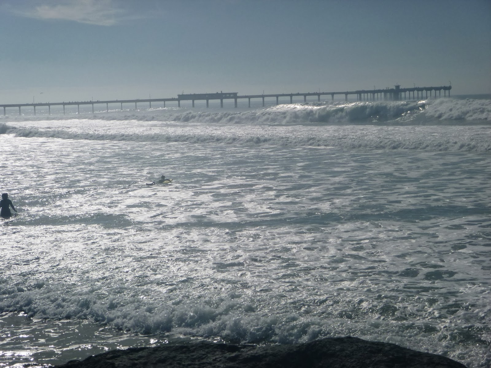
So long as the engineering and channelization efforts hold, the San Diego River will now enter the ocean Between Ocean Beach and Mission Bay Park, at what is affectionately known as Dog Beach. Anita and I had a moment on the south Jetty, gazing out at the large waves and contemplating the voyage we were about to embark upon.
 |
| Mists |
 |
| The end of the jetty where river water is finally at sea |
 |
| And of course dogs |
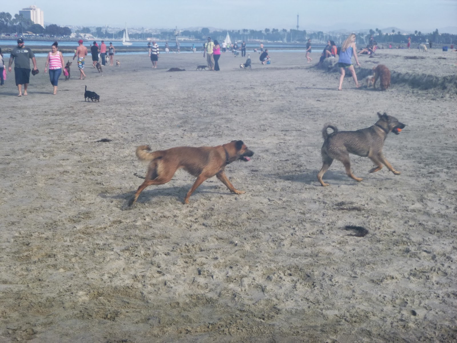 |
| Wooof woof woof woof |
 |
| and we turn inland |
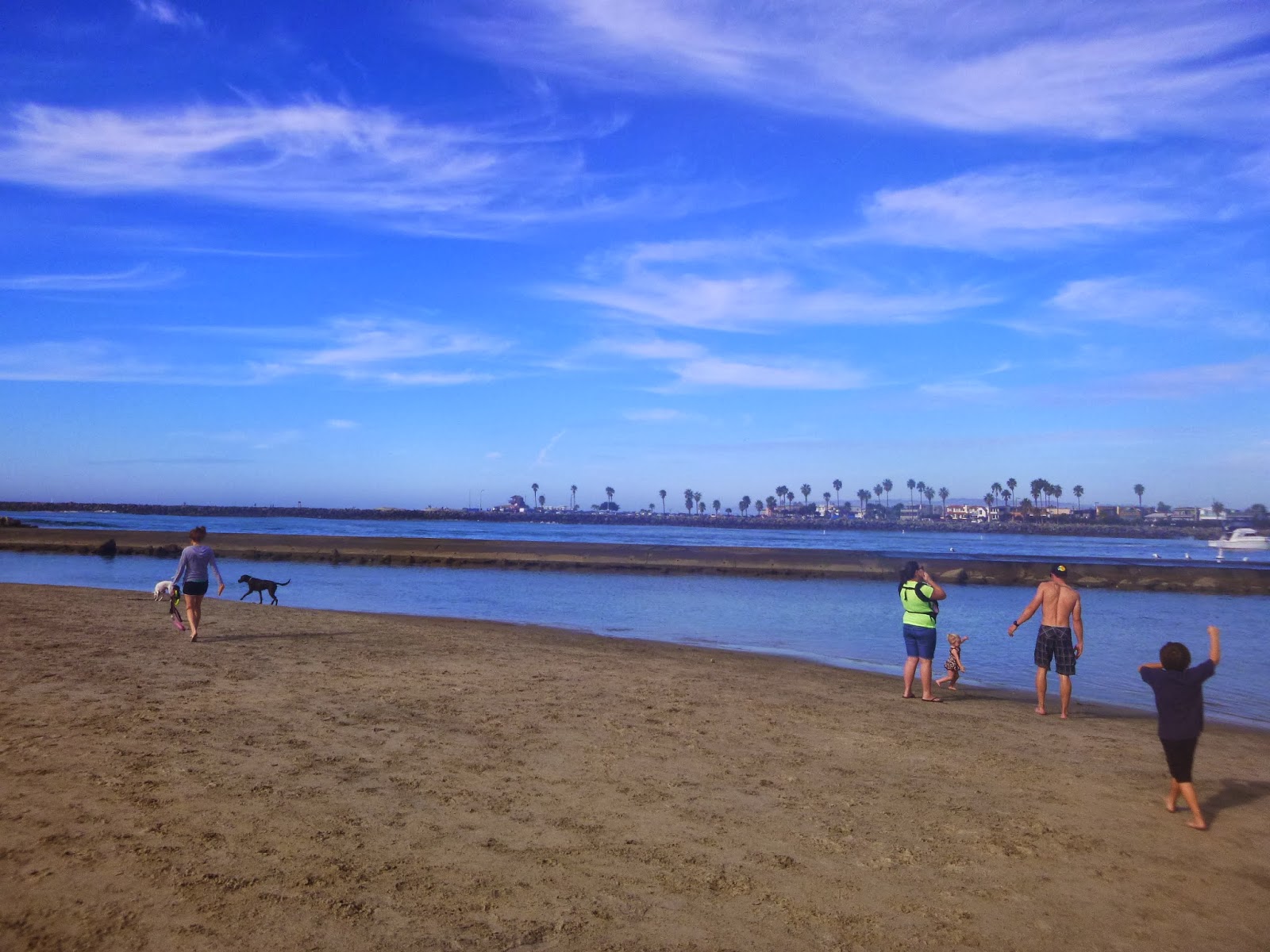 |
| Mission Bay park and Mission beach in the distance |
After a short stroll while we reminisced of our
Coast Walk and watched the playful dogs and their owners frolic in the waves we turned inland. Although channelized this stretch of the river supports a nice brackish estuary and salt marsh. You can quickly see the progression from wave dominated to tidal dominated as the waves decrease and the shore assumes a more wavy shape. Birdlife becomes more abundant back here. There is even a field of dunes. It can be quite lovely here, save for the giant biting flies that come out in the summer and the owners who don't clean up (most do)
 |
| Endless sand at dog beach |
 |
| Airplane in the distance |
 |
| Tide still going out |
 |
| The back side of Dog Beach: Nature trails. |
 |
| Muddy crossing |
 |
| Look at this fella |
I had this notion of going as far back along the sand as we could being in the river channel. This however presented some problems as we looked for a way to rejoin the levee trail and found ourselves facing a muddy part of the back beach. There were some rocks (pictured below) that were clearly arranged to form a crude bridge, but they ended up being a bit wobbly. We were however treated to the sight of some lovely waterfowl.
 |
| We would see a lot of cool looking birds |
 |
| The San Diego River trail |
The river trail is a work in progress.
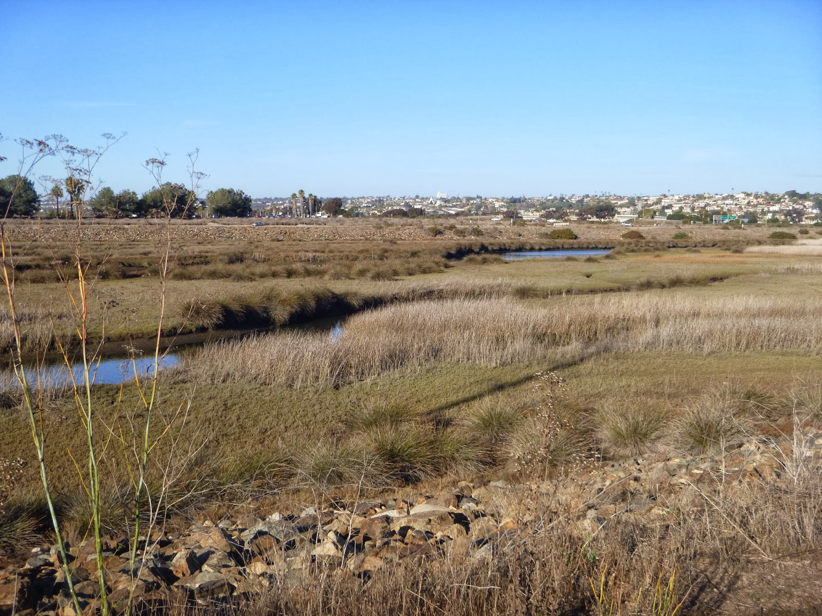
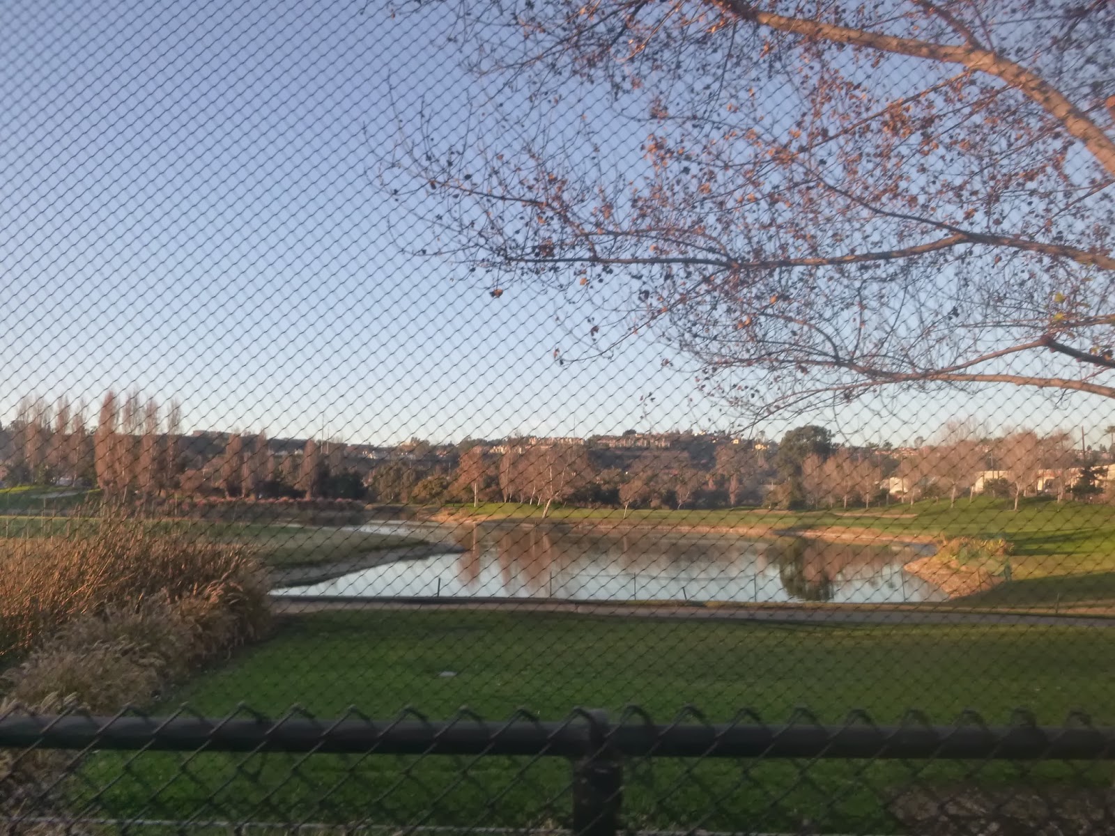
The San Diego River Trail Foundation along with several other aim to create a continuous trail all the way from Dog Beach to the headwaters near Julian, and alongside it feature a clean healthy riparian habitat. Places like this are quite rare in a part of the world that receives ~ 10 inches of rain a year and could be considered an oasis for wildlife and much needed breathing room for citizens of a crowded urban area. The Estuary section of trail is well developed with trails along both banks of the river, the Southern Wildlife preserve in between. We were getting passed constantly by jovial cyclists and joggers relishing the lovely weather. Imagine if we could have this for 50 + miles.
 |
| Robb field Skate park |
 |
| Crossing the Sunset Cliffs Bridge |
 |
| Looking back toward the sea |
 |
| Sparkling water |
 |
| Protected land |
 |
| Sunset cliffs bridge |
 |
| I love the way light reflected from the water hits the bridge trussing |
 |
| Palms |
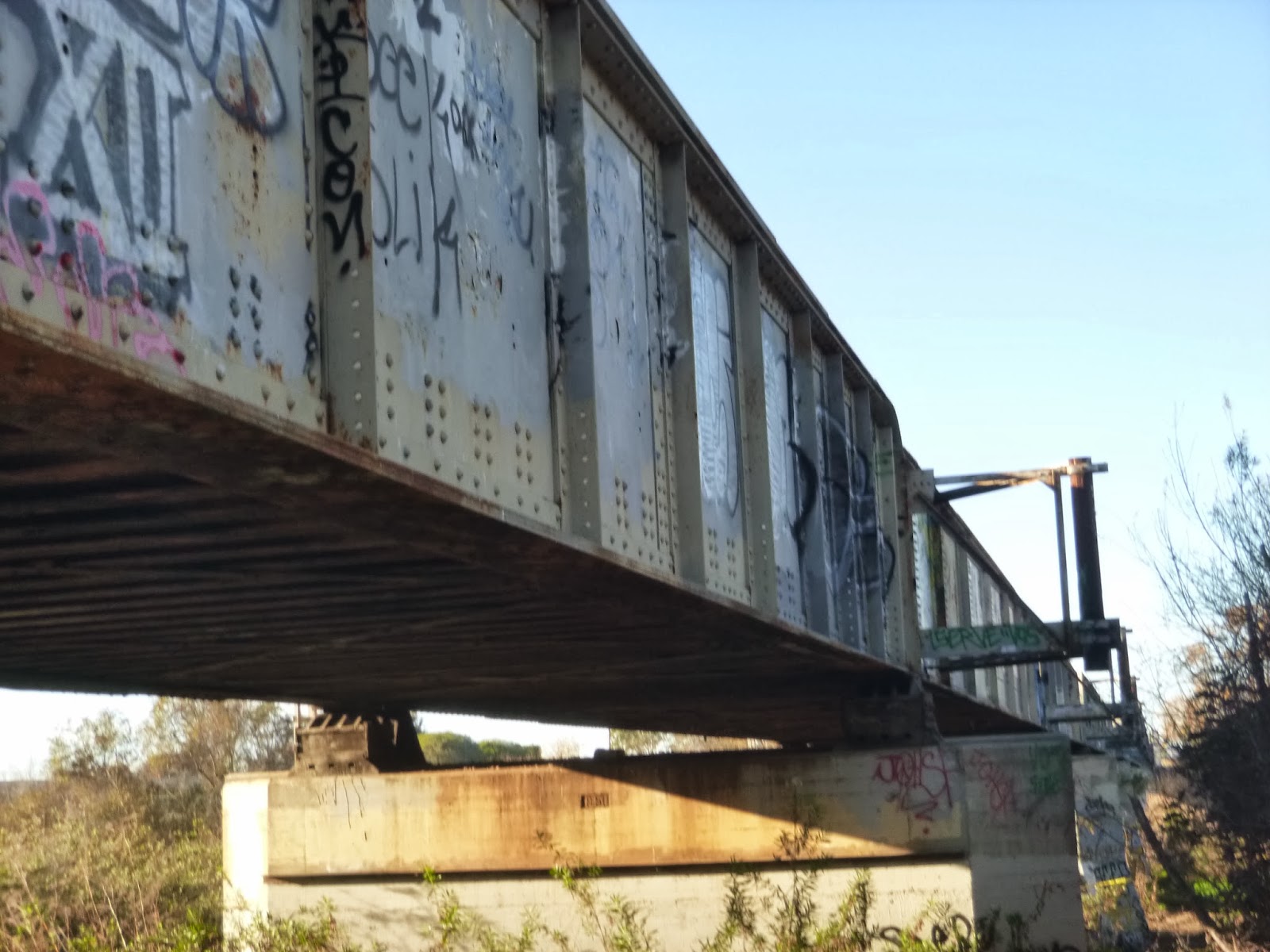
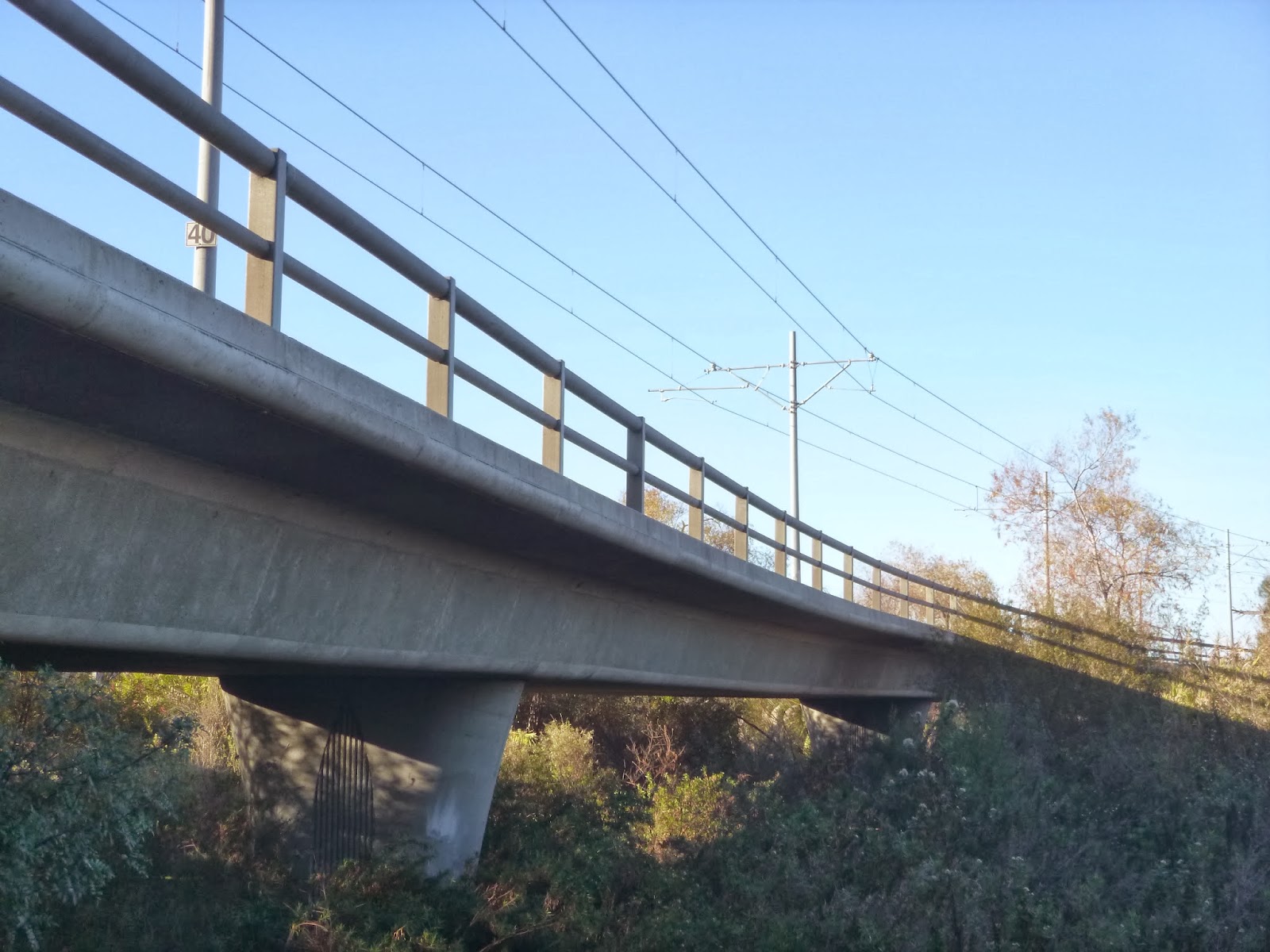
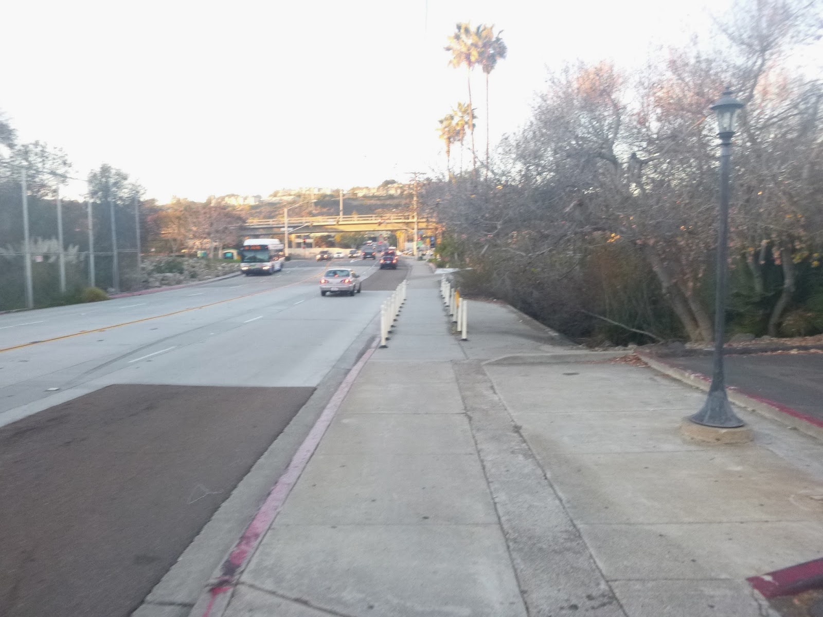
In this day and age, part of exploring any river is crossing bridges, and seeing both banks. Trying to keep our journey linear we crossed north on sunset cliffs, then returned at Sports Arena. It's sometimes a bit of a tough call as to which side of the river we should take. We try to maximize trail and views of the river itself. This gave us a little foray into Mission Bay Park, which is a journey unto itself.
 |
| the outlet for Famosa Slough |
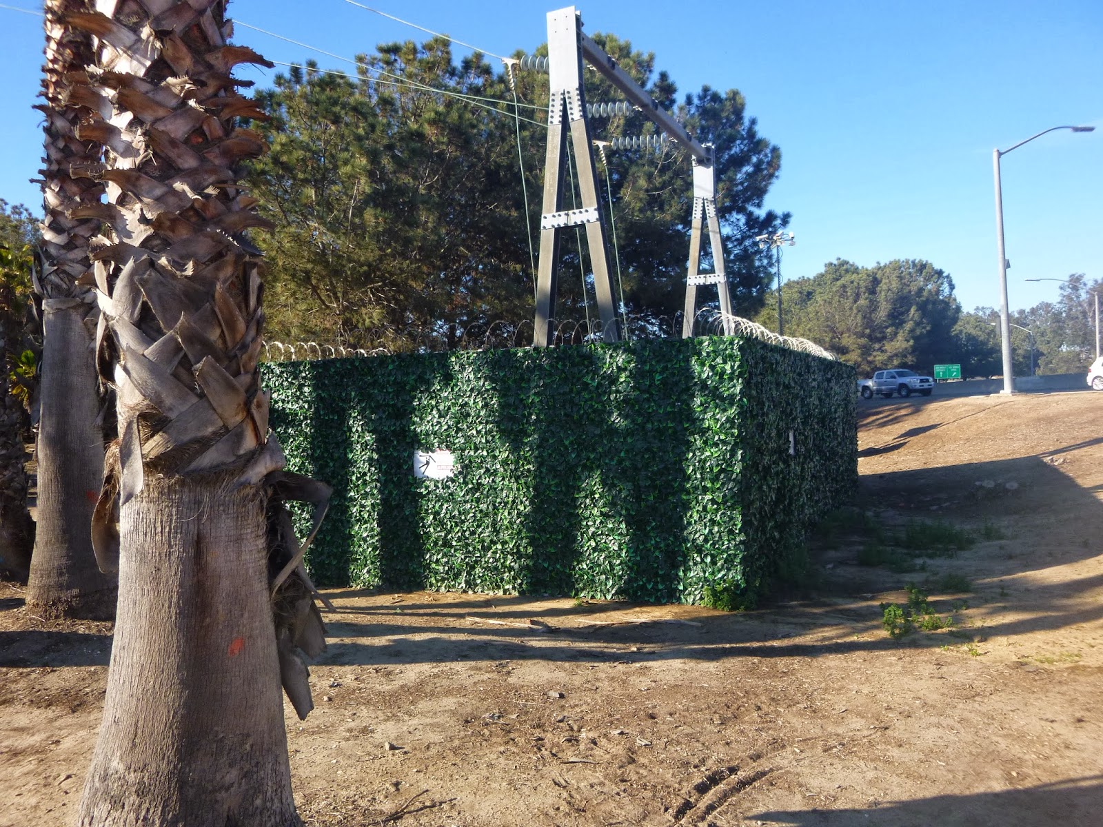 |
| not real ivy |
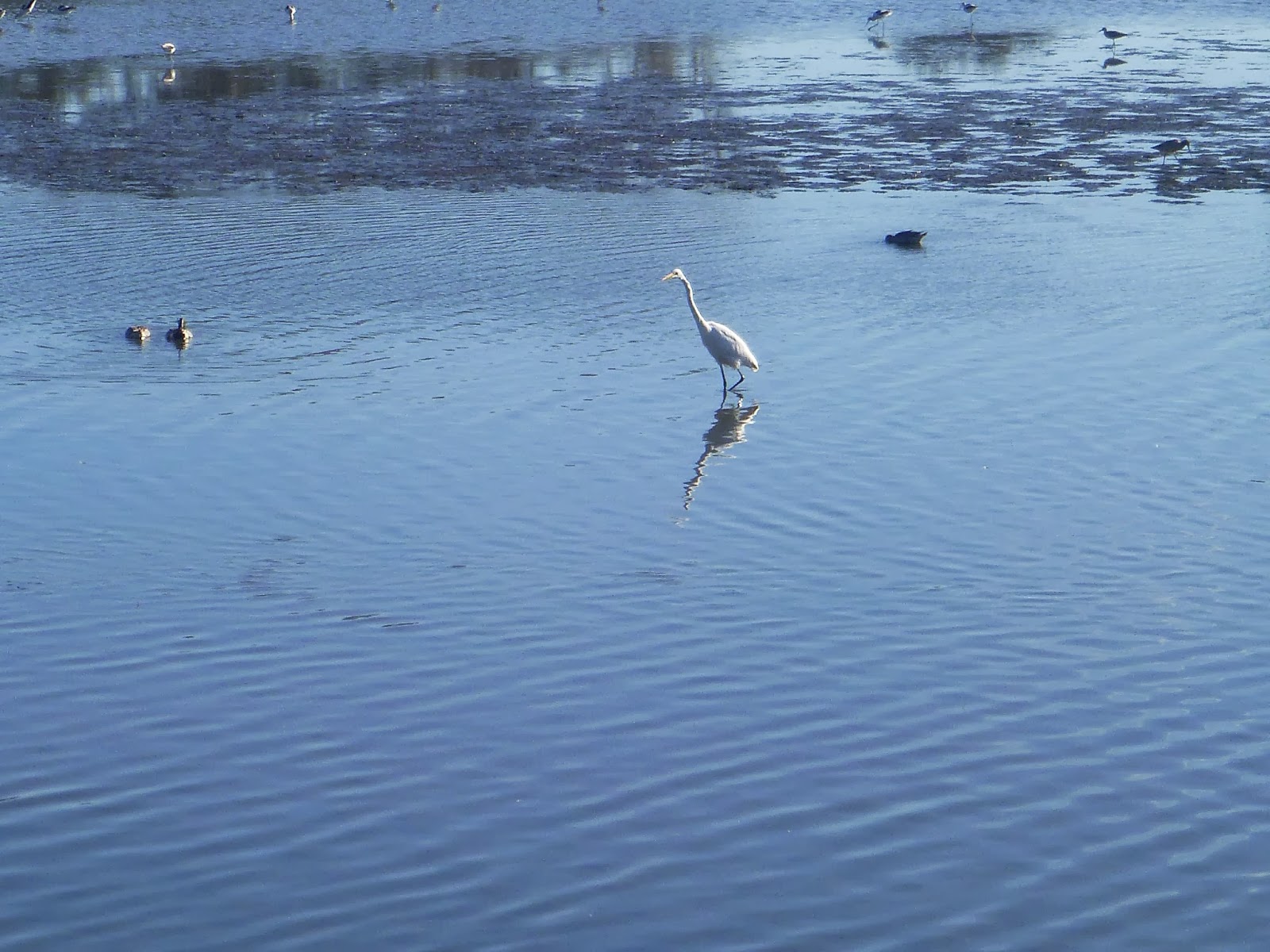 |
| great blue heron. |
 |
| And now for some shadows on the Sports Area Bridge. |
 |
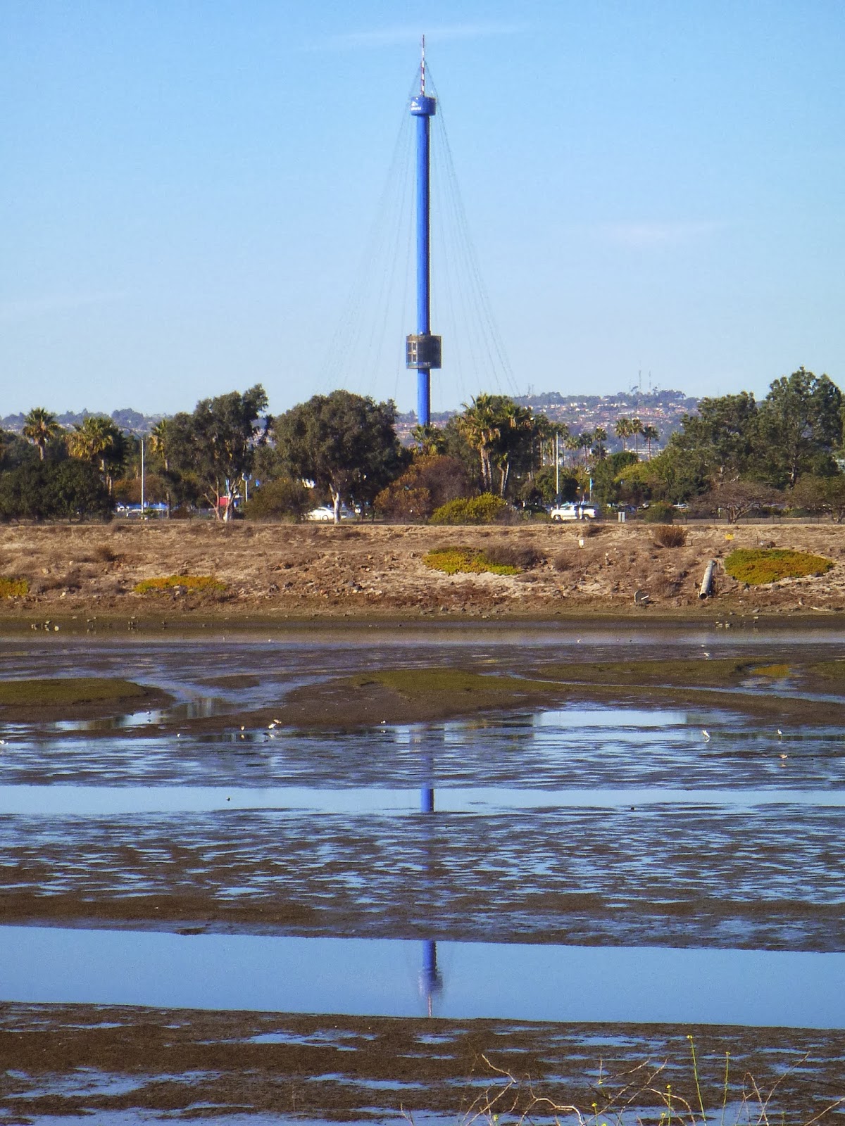
| Sea world tower. |
 |
| Looking upriver |
 |
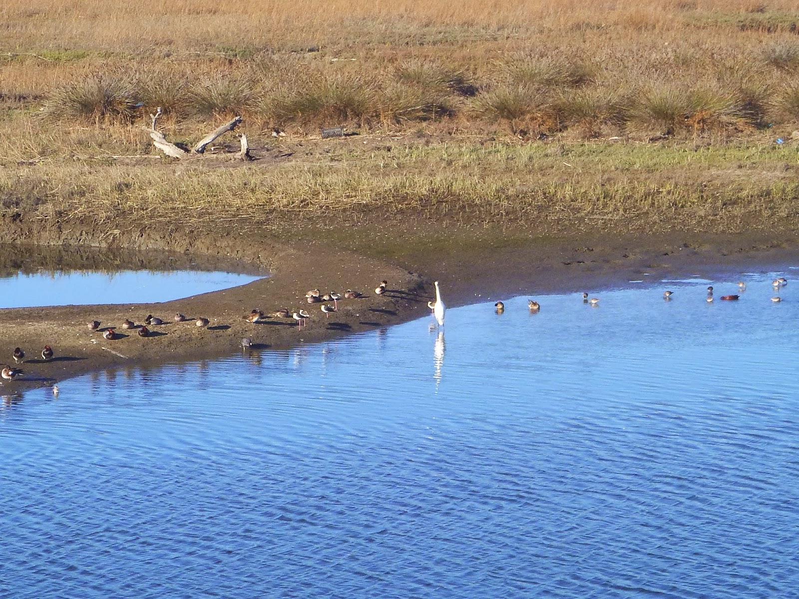
| All the wildlife on the mudflats |
 |
| reflections of an egret |
 |
| The lower 3 miles or so are really well marked. |
 |
If any driver on I-8 turns to look at this art they are going
to cause an accident. |
 |
| the river appears to be flowing backward here |
As we made it further up the muds gave way to salt marsh grasses. As we went away from Mission Bay park the crowds diminish a bit. Still the beach traffic backs up along neighboring I-8. We eat lunch and continue inland, approaching the towering I-5 & I-8 interchange, possibly the lowest sum of any two intersecting interstate highways in the US (though some might point out H1 and H2 in Hawaii might beat us, but I'd argue each H is worth at least 8)
 |
| The world famous sports arena. |
 |
| The Rosecrans Street offramp and all the word art |
 |
| More art. Maybe it's better that I can't read it. |
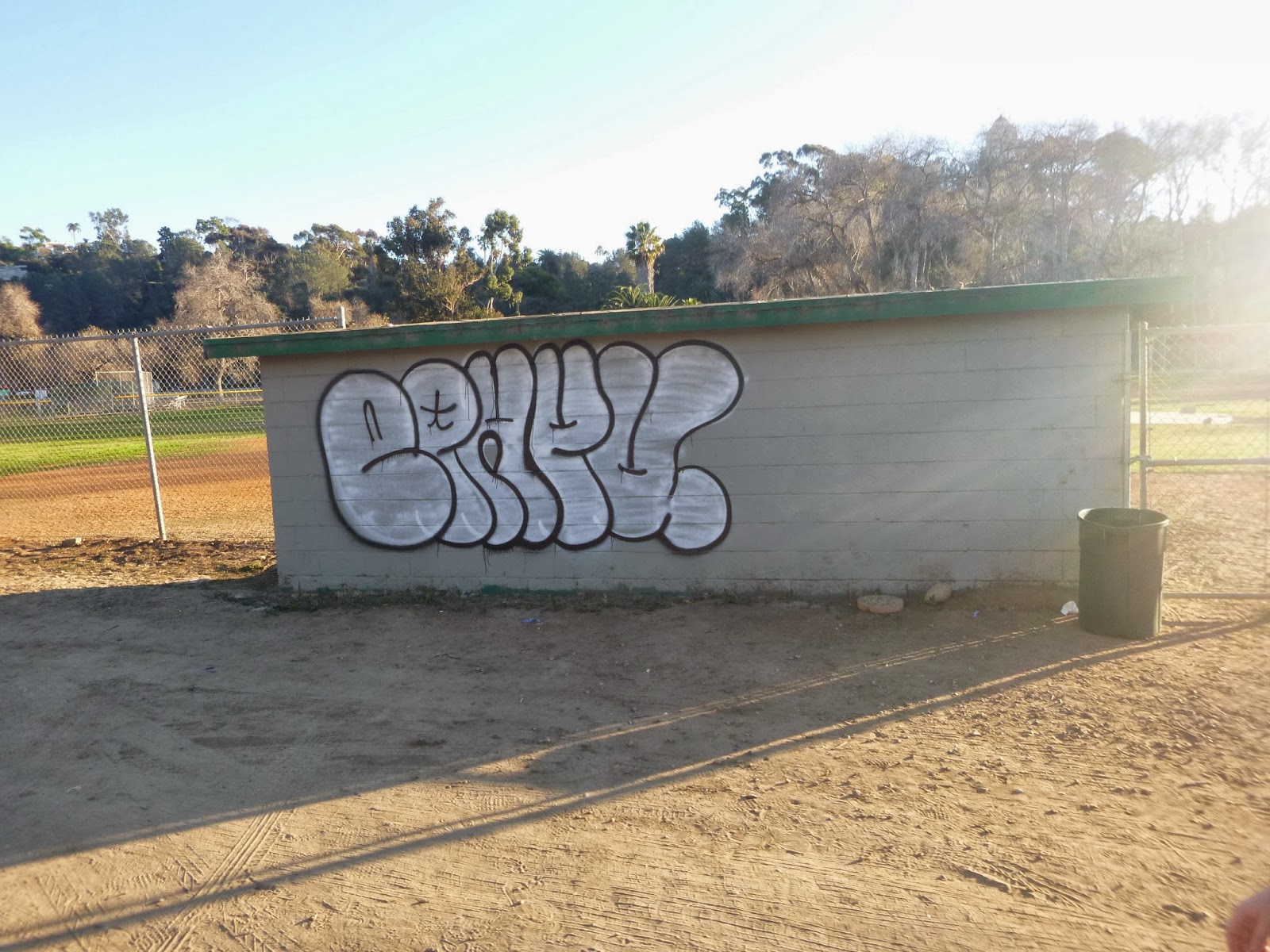
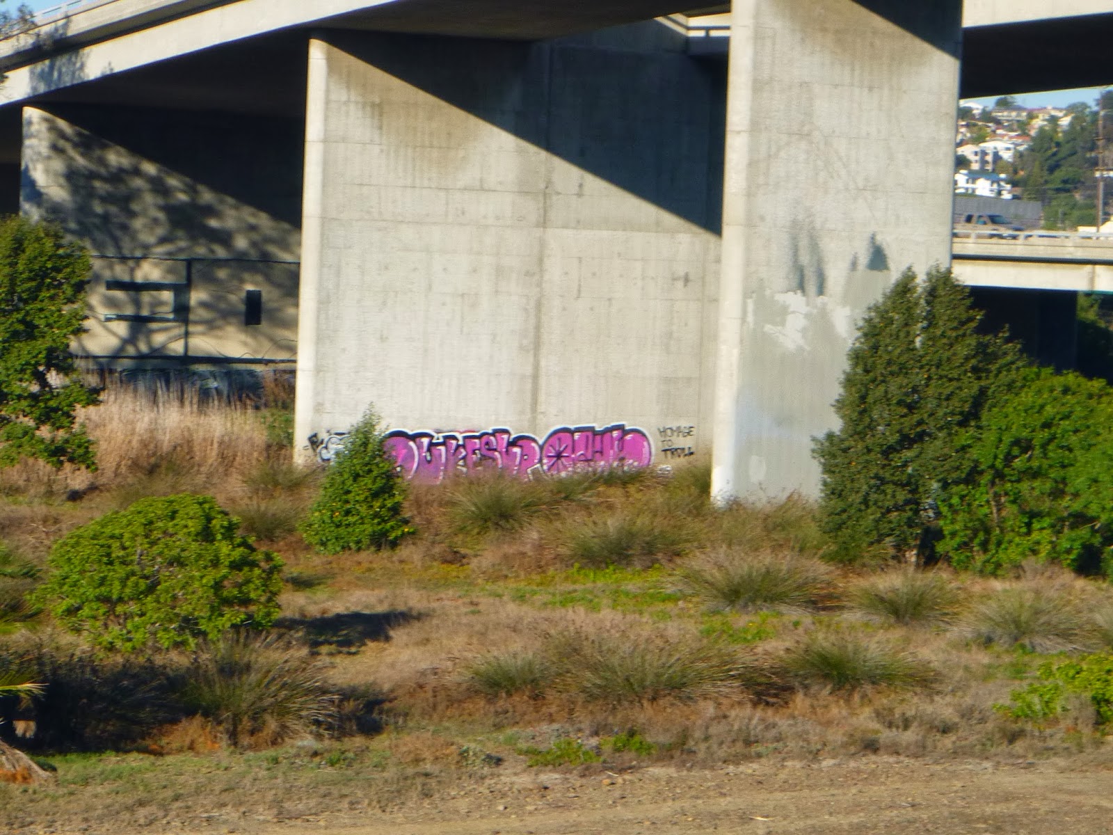
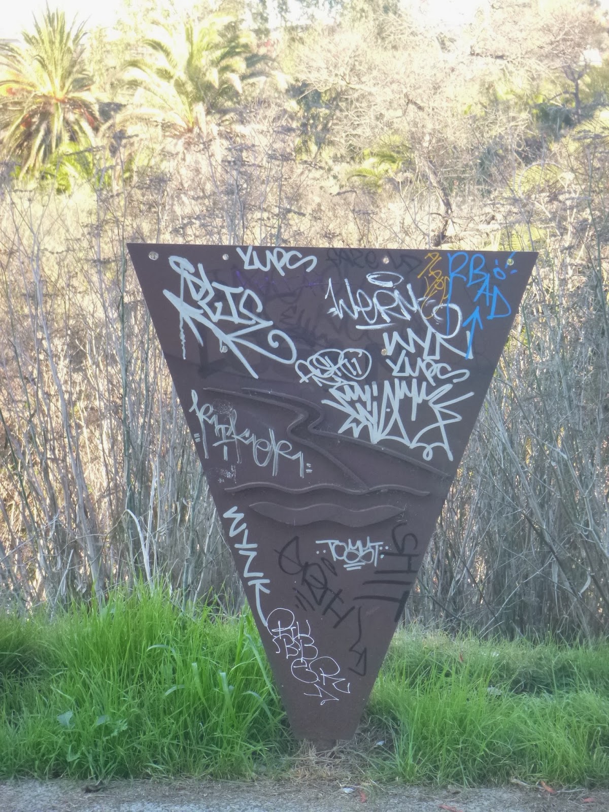
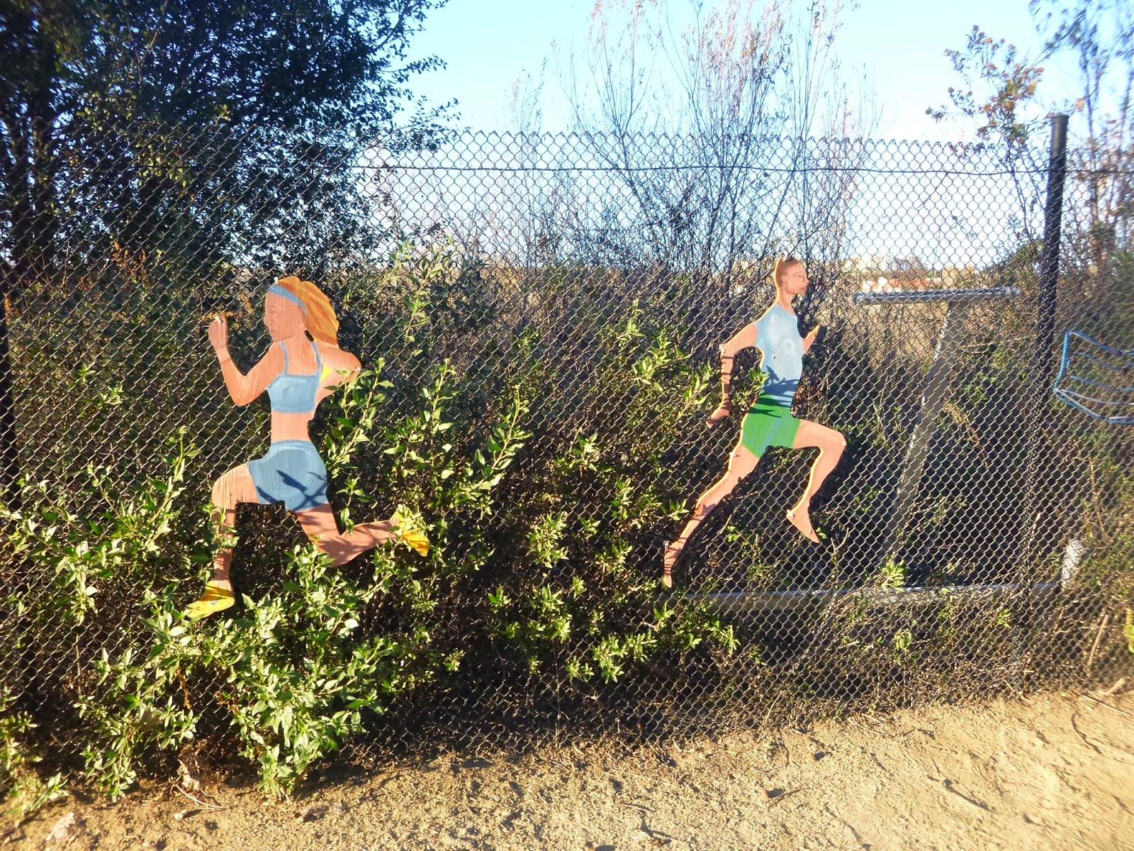
As the soil level and water table rise above the tidal range the vegetation greens up some creating some of the densest natural growth in the city. This is also the domain of those who wish to do what they do unseen, and while some of that is simply living, some of that is also art. I recall being a child and going to New York and loving the graffiti covered subways, and ever since I've been fascinated by what a few cans of spray paint can do. Clearly there are efforts to cover it up, but such is the nature of any ephemeral canvas.
 |
| This feels like a Scene from JG Ballard's "Concrete Island" |
 |
| More legitimate Art past Pacific Highway |
I would say some of the finest public art can be found along the river trail. much of it rarely seen and under appreciated. These are a sort of wild lands. Efforts are underway to make the river bottom a park / preserve and signs everywhere inform us that the off trail region is closed for habitat restoration. There is however one class of people who go there because it is their "habitat" or home: those without a roof of their own. It's been said that these campsites are not helping the river, although with the criminalization of the homeless, it's hard to see where else people are supposed to go. Although I've watched the homeless population of US cities grow substantially over the last 3 decades, I understand that Utah is on track to eliminate homelessness within the next few years. They found that proving a homes and a caseworkers to the homeless was cheaper than medical and legal bills associated with being homelessness. It is said improving the environment requires eliminating poverty as well. What we see here is a microcosm.
 |
| the southern pacific railroad, the Amtrak and the coaster |
 |
| And the Trolley |
 |
| Signage |
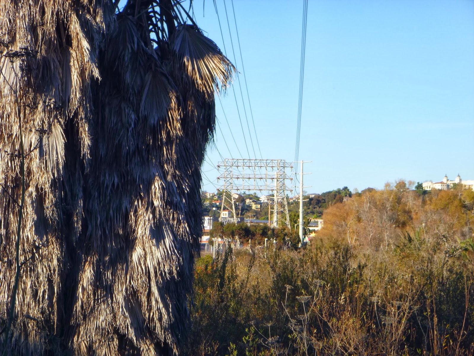 |
| Power lines into Linda Vista |
 |
| Morena Boulevard |
 |
| Welcome to the jungle |
 |
| Lots of kiosks. |
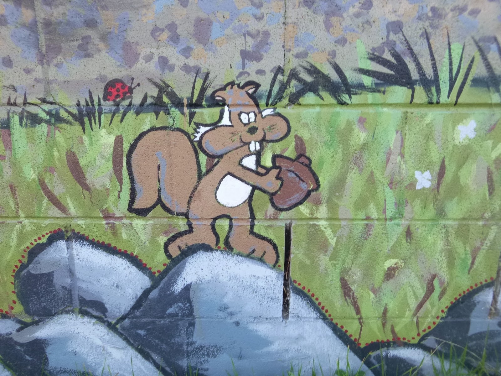 |
| something about this squirrel |
FROM ANITA: Sasha and I share a dream of exploring the great waterside landscapes of San Diego county so by his suggestion and guidance I’m experiencing on foot places I’ve known for many years in a more intimate way than before. I was walking alongside this baseball field when I got a more grounded, slower experience of Mission Valley which I’m familiar with in a much different way travelling down the I-8 or the trolley. Different in a way of being IN Mission Valley instead of speeding through it or being in one if it’s many urban structures and establishments. For most San Diegans I think we mainly come to this river valley to pass through it
mostly and since it is so developed we don’t realize it’s natural environment much (what’s left of it). Decades ago it became a tourist and shopping destination with several apartment complexes and office buildings scattered amongst these parts. Though as I walked along the river which had become a slow stream with a trolley bridge elevated above it, the freeway over to my right on the other side of the field, I’m impressed with this natural way of experiencing this valley for the first time. Feeling the pebbly ground beneath my feet, watching the lush vegetation and wildlife that actually show me the natural wonders; reminding me that this valley once held a mighty river as I considered what we humans have done to it is stunning.
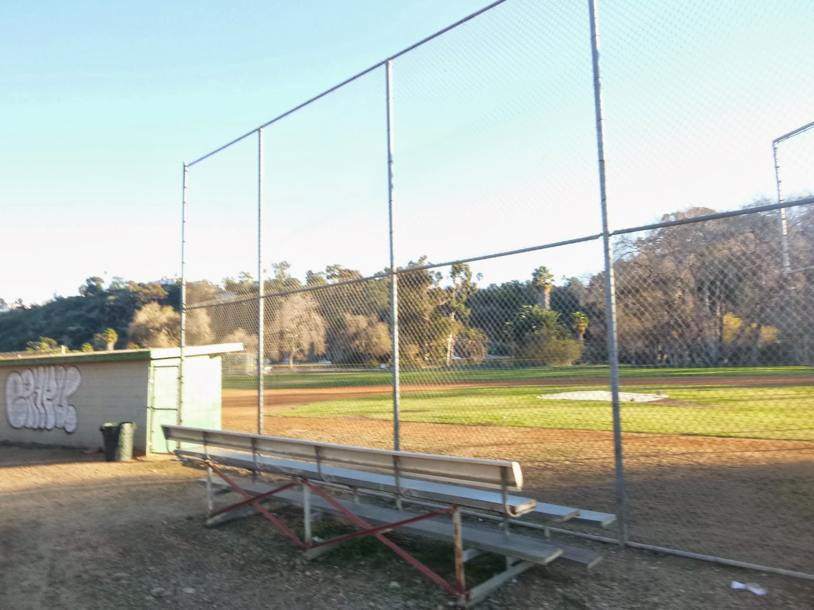 |
| baseball fields |
I visited the Natural History Museum in Balboa Park a few years ago and in an exhibit educating patrons of the issues and reality of San Diego waterways, I watched a video of the waters that flow out of the eastern mountains along each part of the landscape, viewing areal scenes of Mission Valley and it’s seemingly invisible river and it’s outlet at the beach. I had not bothered paying attention to this river or thought much about before that. It left a strong enough impression on me to help me appreciate what I was seeing and noticing here.
 |
| idyllic reflections |
 |
| More art. |
 |
| Returning to the street |
 |
| Hay hay hay! |
 |
While we're on the subject of robin thicke lyrics I figured I should try
my hand at twerking. I'm not very good at it. |
Past the athletic fields we approached the
Premier Inn and so came up one of the "Gaps" in the current trail alignment. Although the aim is to have trail be continuous eventually there are a number of sections presently where it is necessary to walk along sidewalks or make even more substantial detours. The issue is a combination of funding, private property and logistics. We'll visit many more of these along our journey doing our best to avoid trespassing.
 |
| Riverwalk golf course |
 |
| It's world famous or something |
 |
| More golf |
 |
| The old convention center, birthplace of Comic Con |
 |
| Approaching the low water crossing at Fashion Valley. |
 |
| Awaiting the trolley home |
As the close of the day approached we found ourselves approaching Fashion Valley transit Center. This phase of the journey certainly feels more urban than any of our beach walks and is a sort attempt to rediscover the lost soul of this city. Mission Valley and the I-8 corridor have a way diving the city on a north south way. We live south and at heart are more aligned with those who live south. There are many fences and barriers in this collection of neighborhoods we call a city. Maybe we can cross a few.
 |
| looking out upon the wilderness |