It seems like we've been waiting awhile to make upward progress on river walk. Sideward progress a plenty, but not much upward. The logistics are getting increasingly challenging and my work life has grown busier. Today we enjoy the longest navigable stretch of the San Diego River: El Capitan Reservoir. In theory one can walk along the east shore all the way to Conejos Creek. We, however chose to just rent a boat. This turns out to be rather easy if you have a credit card. The only challenge is getting to the lake before the boats are all rented out. We got a bit of late start and arrived shortly after 11 am just in time to snatch up the last available boat.
El Capitan Lake is an important part of San Diego's water supply and while you can motor around all you want you're not supposed to swim there. Apparently it's easier to remove gasoline from drinking water than it is to remove human scum (more on human scum in a bit). The concession boasts a fleet of brand new no-frills single engine motorboats at a reasonable price, as well as bait, tackle and various food items. The fees from all this go to making the lake and our drinking water a better thing.
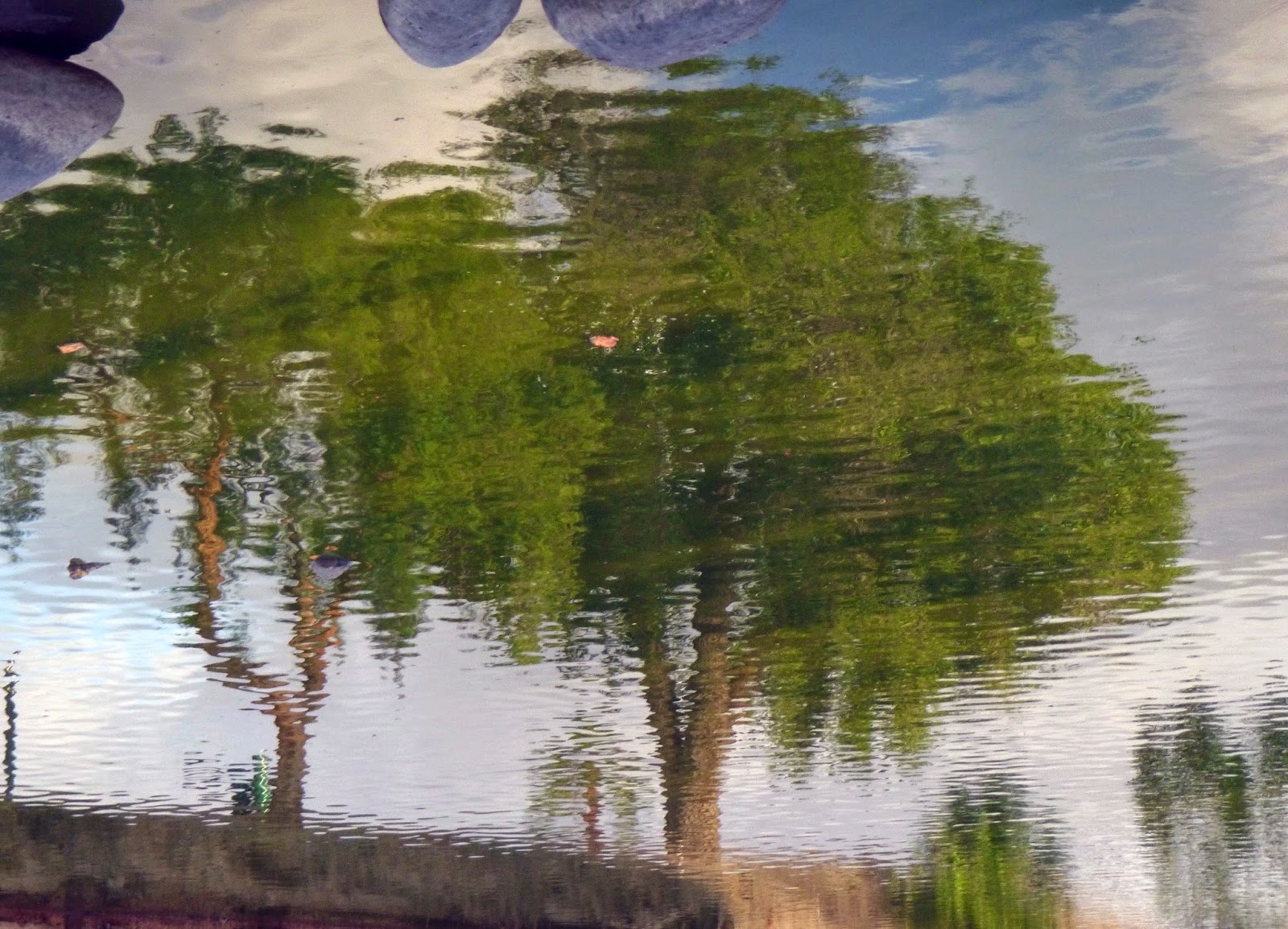
 |
| The docks and Peutz Valley behind us. |
 |
| Waterfowl on the navigation buoy. |
I'm generally more one to Kayak or Canoe, but that just wasn't practical today. What I'm trying to say is that I have never actually operated a motorboat before. Fortunately, my times as a landscaper gave me some experience with power tools and the principles behind operating a motorboat aren't so different from operating a weed whacker. The guy at the concession gave me a quick tutorial and suddenly we were off. For a moment we spotted I-8 over Peutz Creek, but then that faded into the distance. I was at first kind of nervous, because I have no idea what kind of range these boats have or how fast I was going. It seemed a lot faster than the pace we've been walking at these previous 10 weeks and I try to be a respectful user of public resources. I probably worry too much really.
 |
| Little forested watersheds. |
 |
| El Capitan |
Soon we had the Dam in our sights and then we were over the true San Diego River, heading into uncharted territory. I kept thinking about the Lonely Island song "I'm on a boat" as we made our way up lake beyond where any roads might take us. We could see clusters of trees in all the little gullies that drain into the lake, as well as on many of the north-facing slopes. Any place where things don't get dried out too fast. On the east shore we could spot the old route of the flume that ran before the lake was here. Plenty of motorized activity in the lake, but still a world away out here.
 |
| Dam! |
 |
| Call me "skipper". |
 |
| The roads are far behind. |
 |
| Rounding the rocky point. |
We are still in a drought and the lake is quite low. You can see the bathtub rings in many of our photos. I grew increasingly comfortable with the buoys and lake traffic and my piloting of the boat itself. I began to fancy myself a Humphrey Bogart and Anita a Katharine Hepburn aboard the African Queen or something.
 |
| These buoys are really useful. |
 |
| W can finally see the valley ahead. |
 |
| The view is constantly changing. |
 |
| Conejos creek. |
Conejos Creek drains the west face of the Cuyamaca mountains and I suspect its generally a fairly full stream. We did not get to go up it today, but we did see the mountains gathering clouds. Seems a bit early for such weather (normally August is when we get the thunderheads) but it still made for a nice show and served as a sign that we were getting into a different kind of territory here.
 |
| Clouds gathering. |
 |
| More 3-D of the bathtub rings. |
 |
| The drowned canyon. |
 |
| The bathtub rings of drought. |
Some folks just want to be on a boat. Other are here to
go fishing. The fisherpeople tend to look for rocky coves and other hideaways. The recreationalists just want to show off their boats and joy ride. As a canoeist I have always loved riding the wake the big boats stirred up. Now we get to make our waves, though not particularly big ones.
 |
| keeps on going |
 |
| 3-D of the canyon. |
Where the side canyons intersect the lake there are often beaches and sometimes boulders. We saw many people on the shore picnicing and sunbathing and otherwise blissing at this hidden piece of paradise. Birds in the sky.
 |
| birds overhead |
 |
| Lovely sun drenched bays. |
 |
| It's hard to miss this sign. |
 |
| Nice clouds. |
At the north end of the lake one ends up on the Capitan Grande Indian Reservation. The boundary is clearly marked and the story goes that one is not supposed to land north of the buoys. One can however boat north of the buoys. We wanted to get as far upriver as possible and so kept going. Soon however we started to notice trees sticking out of the water. I didn't want to mess with that so killed the motor and broke out the oars. After a few strokes we began to wonder why we weren't getting anywhere when it became apparent that we were on a sand bar. Clearly any further progress would be ill advised. So I took a moment to gaze on the land before us and the virtual wilderness that would lie ahead. Watched the egrets perched on the drowned forest and the formation of the clouds. It was one of the first times I have felt in over my head in awhile. So took some photos, took some deep breaths and then we used the oars to pry ourselves into deeper water and turn around.
 |
| Up river a wild unspoiled land. |
 |
| Wildlife flourishing just out of reach. |
 |
| The shimmering cliffs of the faraway land. |
 |
| We have come far. |
South of the buoys we found a place to have lunch: a sandy beach with a wooded canyon and a cluster of rocks. The rocks provided a bit of shade and we relaxed far from everything, contemplating the land that lay ahead.
 |
| Looking up toward Sandy Creek. |
 |
| Anita on the shore |
 |
| ladybug |
 |
| Lone tree atop the rock. |
I want once again to mention Quagga mussels. All around our lunch spot and pretty much anywhere below the high water line, these guys are present. Some even appeared to be still alive. This is what an infestation looks like. I like to take this moment to point out that much of what we think of as the San Diego River is actually the Colorado River. These mussels are believed to have arrived in Southern California via the Colorado River Aqueduct. Much of our municipal water comes from the Colorado and so much of the urban runoff that ends up in the San Diego river actually originates as snowpack in the Rockies. So when quagga mussels began appearing in Lake Havasu it was only a matter of time before they ended up here.
 |
| Quagga mussels. |
 |
| More quagga mussels. |
 |
| Yellow trumpets. |
 |
| Purple fuzzies. |
So before leaving we decided to wander around a bit more, at which point we encountered the biggest jerk on the entire journey. I'll let Anita tell the story:
So we've finished lunch on the shore and decide to walk north as a direction to take while exploring. There is a buoy in the water stating there is federal land ahead which means Capitan Grande Reservation. We just wanted to walk along the shore having no intention of leaving the public park and trespassing but apparently this man on the other side of the lake got very upset seeing us there. "This is federal land! Get back in your ----ing boat and get out of here!" Well this man was so furious to see us moving in the direction of the reservation border, it was if he was a very loud, aggressive, territorial dog in human form that could speak English and went on and on and on yelling at the top of his lungs for like two minutes as we actually walked back to the boat and left. He was VERY rude! Well even if we wanted to ignore him, the incident spoiled our mood to explore an area we were entitled to anyway -he was that hostile. So we did what the ---hole told us to. He clearly has a rage issue.
 |
| Anita piloting, not feeling too happy over the incident. |
 |
| The color of the mountainside. |
 |
| Conejos creek in 3-D. |
 |
| heading back |
Back at the boat dock we had a lovely chat with the concession operator and then the ranger. Apparently the character we encountered is familiar to the park service and the tribal leaders, and has harassed boaters on city land in the past and there is sort of a song and dance keeping the order around here. The north end of the reservoir is very much on reservation and that is a bone of contention. The agreement seems to be that those who live on the reservation get to use the lake and city land for free (and I suspect get to swim in the water), but that south of buoys, paying lake users are very much allowed to walk on the shore and park their boats and enjoy the wildlife sun and scenery.
I also learned a bit about the various collaborations between the city and federal and Native American leadership connected to this lake. Communication between different government agencies with sometimes conflicting objectives is always a matter of fascination for me especially when I see it done well (this seems to be the case here). Still, when I got back I took it upon myself to do a bit more research. Google maps confirmed that we were unambiguously on city land. Then I stumbled across this
interesting piece. To put it gently there has been contention over the land around this reservoir ever since the time of it's construction. This is not surprising most water projects in the arid west have their share of contention. (The Milagro Bean Field War is a lovely fictionalized example of this). In a more transcendental mindset I could imagine that conflict is still present in this guys mind. I could even imagine a mindset in which he found himself entirely justified and believed himself to be doing the only thing he could to make the world right. You find this mindset all over the West especially where public and private lands intersect and someone thinks they have a bone to pick. Some of these folks like a legendary character on nearby Lyons Peak do things like block public roads wielding shotguns. Others, such as some guy in Nevada go about gathering militias when asked to honor their agreements with society. I can be thankful only that they are rare.
I've been struggling how to end this post. You can't let one jerk ruin your day especially when you meet all sorts of cool people in dealing with said jerk. So I leave you with some other thoughts not so connected:
 |
| the bird catches its prey |
You can see the "bathtub rings" in may of today's photos. The lake level has fluctuated quite a bit as Southern California goes from drought to deluge and back. Google Earth has the feature which allows you to see how the satellite images over certain regions change over time. Using this tool, I decided to make a time lapse of water level fluctuations from 1994 to present.