|
I figured we should have one entry of this blog in which
I showcase driving to the start of the hike |
It now takes over half an hour to drive to the start of our hike. We are now well past where the bus system can help us and deep into driving and bike shuttling. We have gotten to know these stretches I-8 and CA-67 pretty well and this is not our last time going this way. I had Anita take some photos of our drive since it is part of the experience.
 |
| Down the San Vincente Freeway |
 |
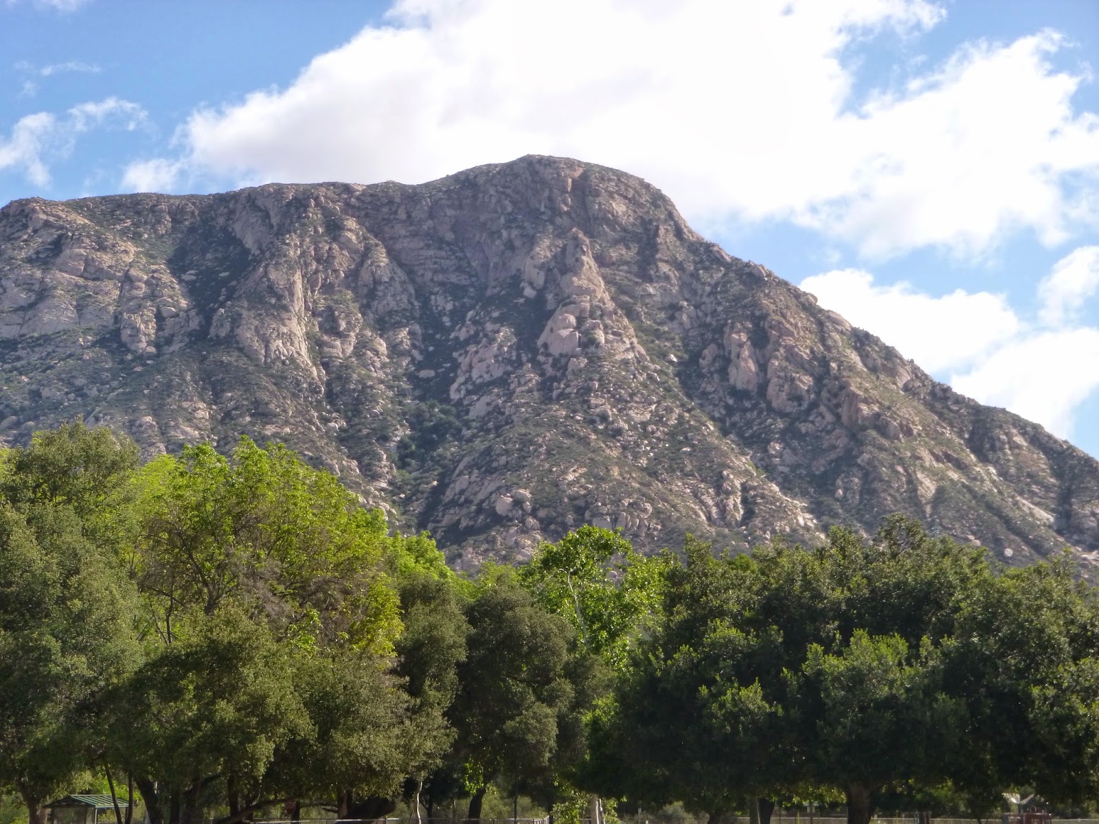
| The mountains come into view |
 |
| thousands of motorists view El Capitan every day. |
 |
| Ahh, downtown Lakeside. I have grown fond of this town. |
 |
| Looming larger |
 |
| Reflections over still water as I bike shuttle. |
I left Anita at El Monte Park and the drove up to the lake and left my car there. Then I took the bike back to Anita. After last week's windstorm I decided it was better to get the biking done early as winds tend to pick up later in the day. I also got a nice preview of the walk ahead.
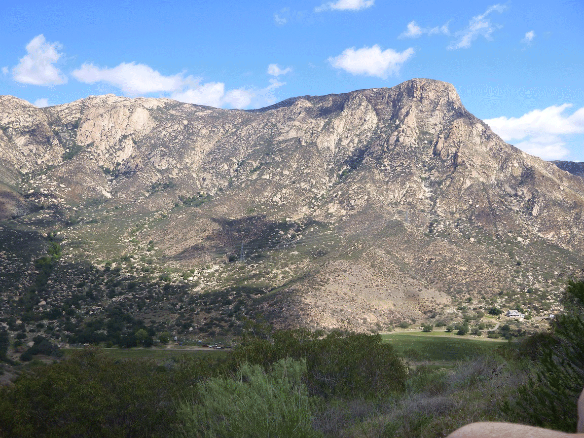
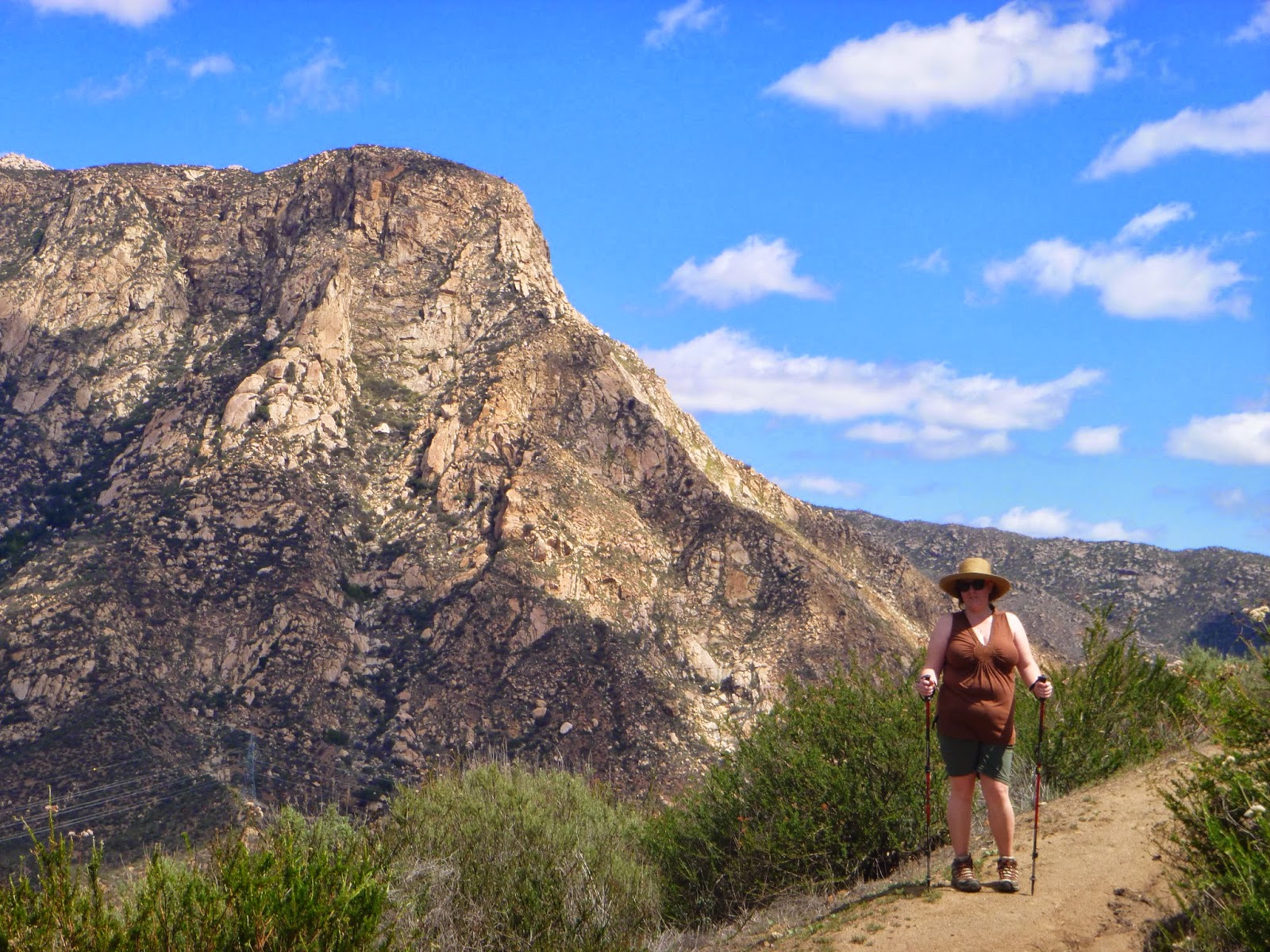
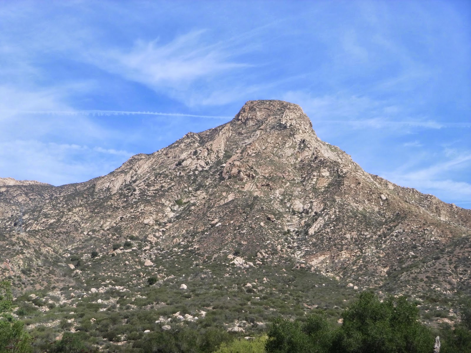
Today's walk was dominated by El Cajon Mountain and the El Capitan rock face. Over 2000 feet from the valley floor it is one of the most recognizable features of San Diego County landscape, visible from many parts of the county, though rarely visited. Its steep faces are a mecca for rock climbers, and the views are nothing short of spectacular. I have been to El Cajon peak, just above it via the "hiking trail"
This 12 mile hike is supposedly one of the gnarliest in the country and favored by fitness buffs for its unrelenting roller coaster of ups and downs. While there are taller peaks, El Cajon and the El Capitan rock face have a certain prominence that is unparalleled in the county.
 |
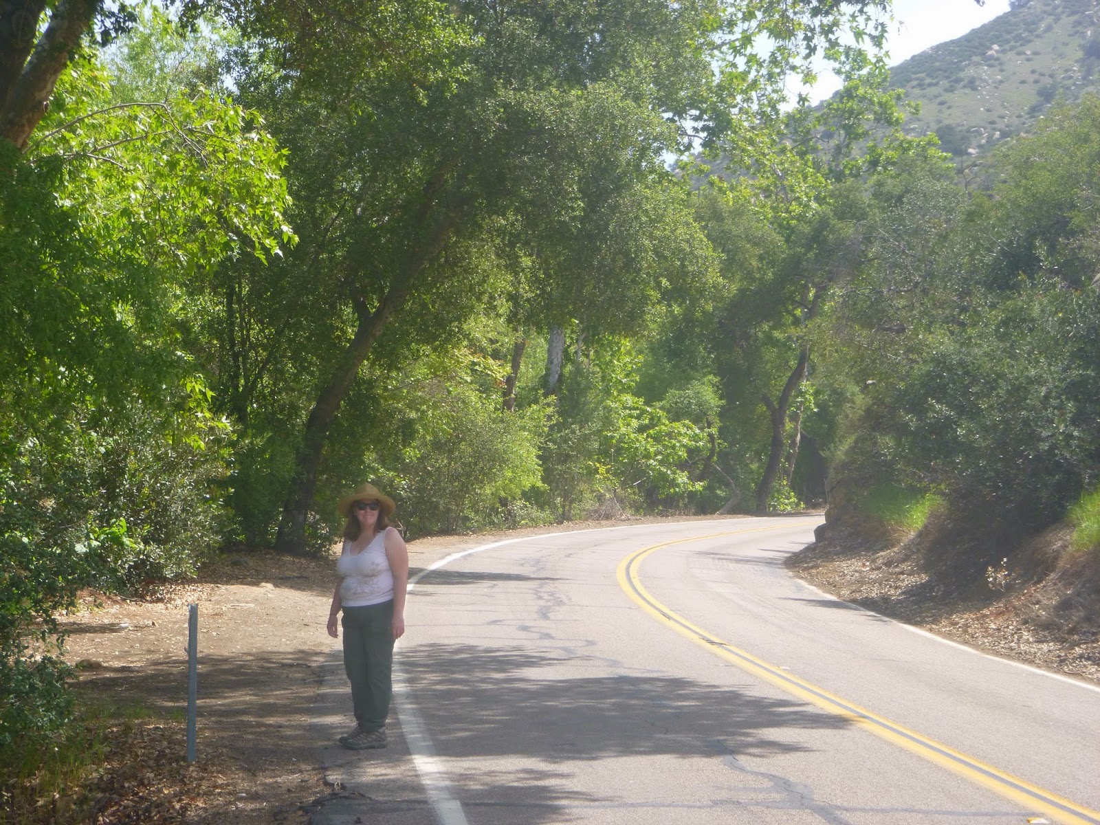
| And this is where we start walking. |
 |
| We are sticking to the road today. |
 |
| A nice country road. |
 |
| The River and The Rock. |
The riverbed is completely dry, despite some sprinkles we had earlier in the week. One suspects there is rarely much water in the bed here, with the dam upstream and the permeable substrate and rarity of rain. It's hard even to tell exactly where the river is, except perhaps for the topographic low. Private property means that the road is about as close as we can go. Fortunately traffic is light and there is usually ample shoulder here. We are along a dead end road traveled primarily by residents and people visiting the lake. We try to stay on the north side of the road. Most traffic at this hour is on the south side heading east.
 |
| Turkeys! |
 |
| In case you're wondering this IS the Riverbottom. |
 |
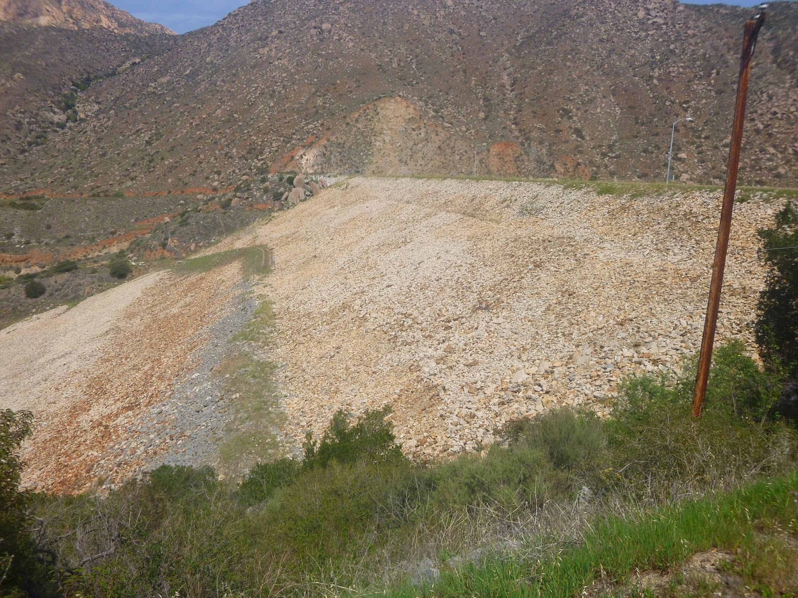
| Across the river it rises ~ 2500 feet above the valley. |
There is country and then there is where we are. Scenic beyond compare. Anita and I talk about living out here and doing art and wandering the forests and rocks, lying in the meadows and painting. It would be a good life. I keep photographing the rock wondering how the escarpment became so dramatic. My eye drifts away from the riverbed and looks up more and more.
 |
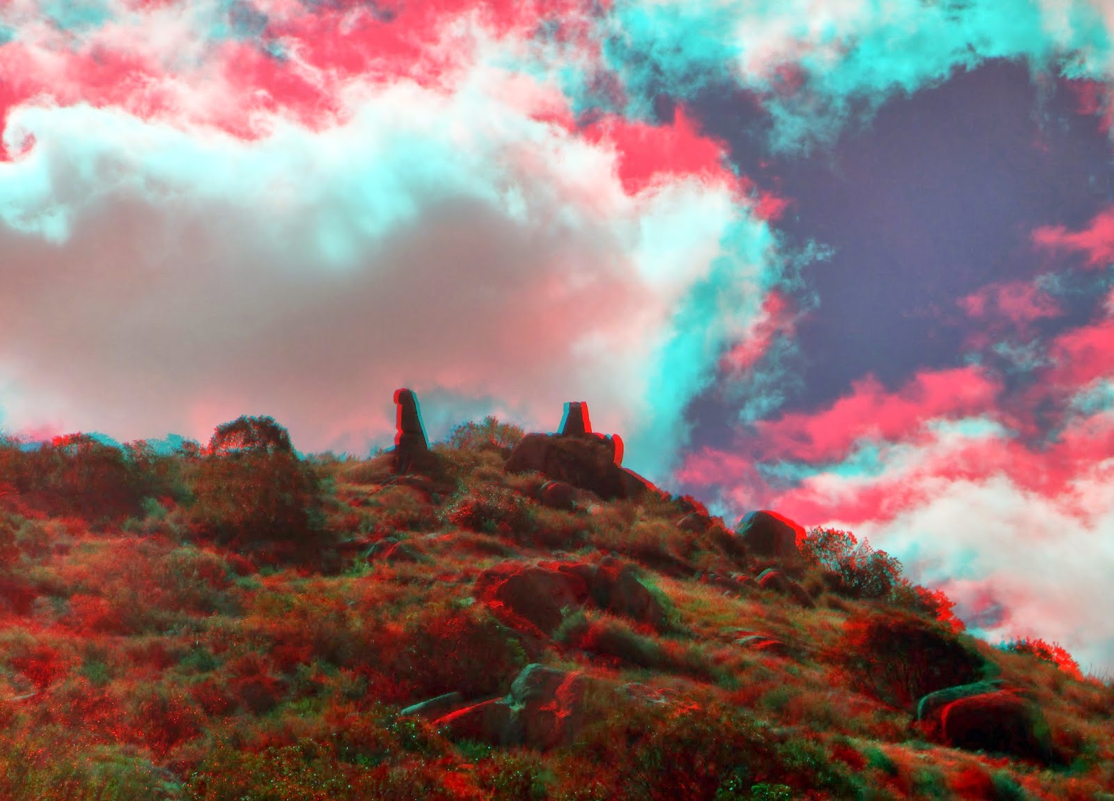
| 3-D El capitan |
 |
| I can't get enough shots of this |
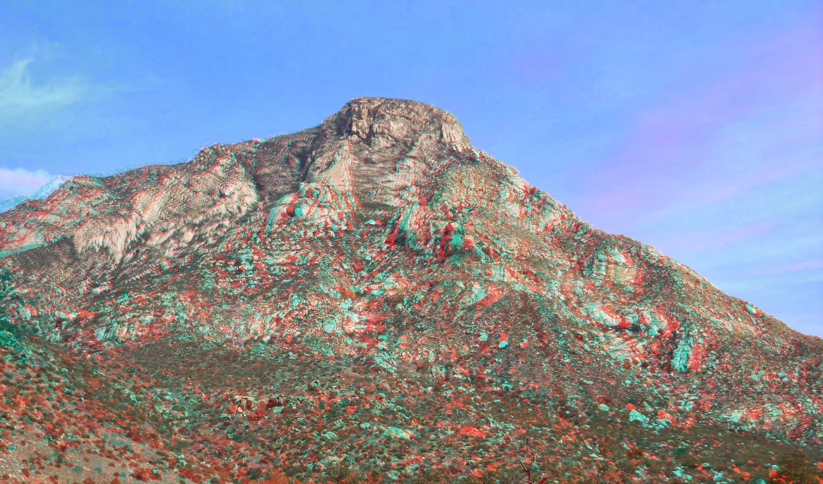 |
| El Capitan in 3-D part 2 |
 |
| Viejas peak and the Dam become visible. |
 |
| Along the road we wander |
 |
| First selfie of the day |
 |
| The rock is different from every angle |
 |
| another 3-D of the Rock |
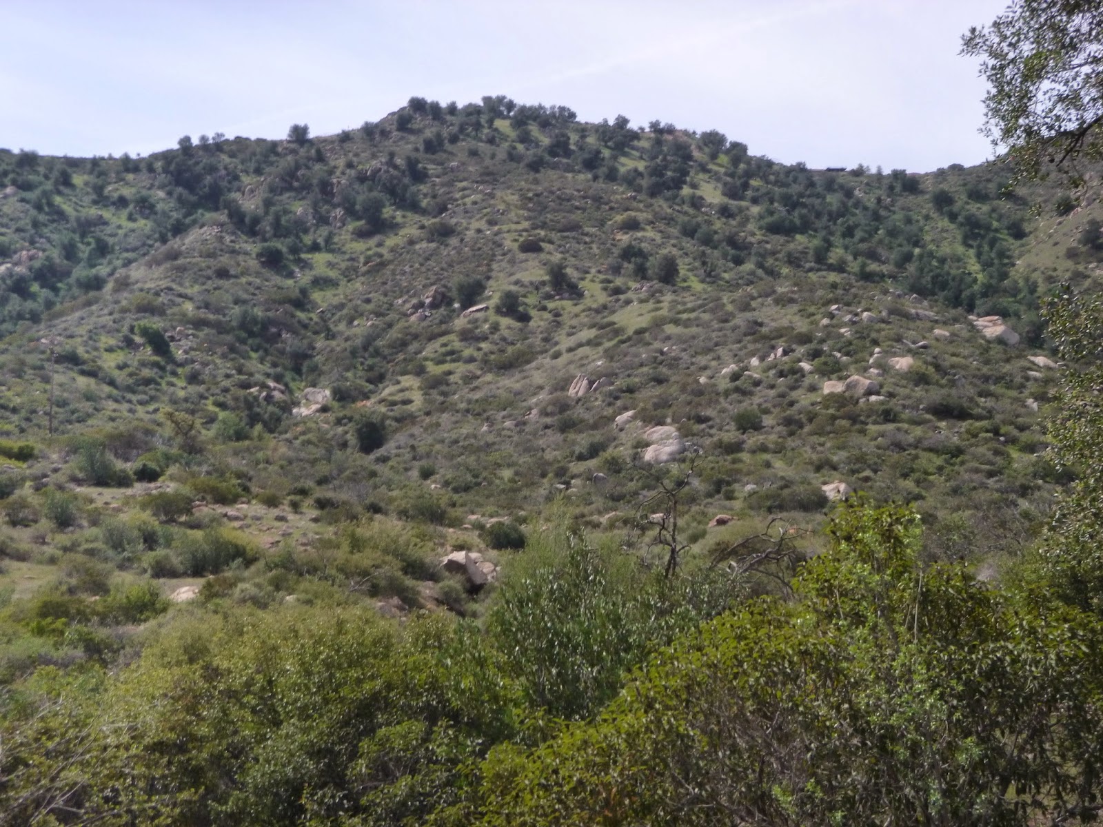 |
| Oaks on the hillside |
 |
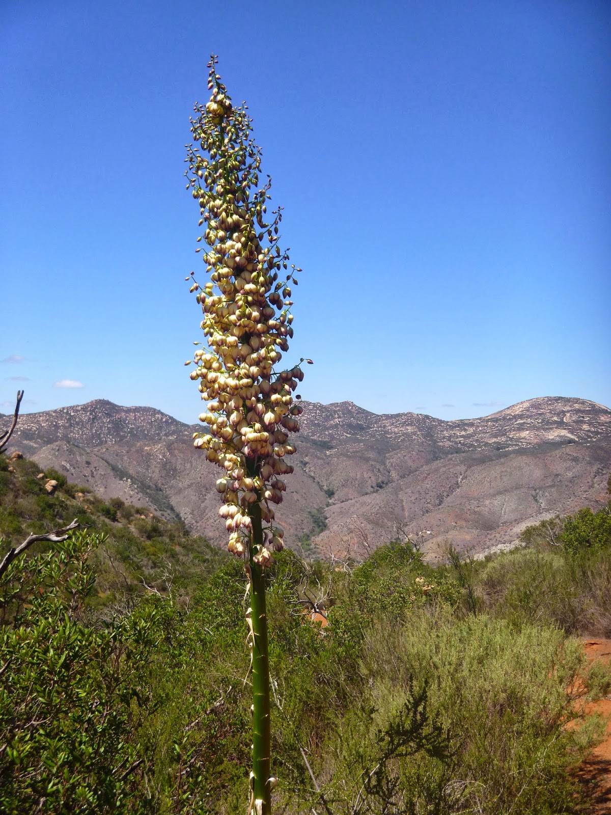
| This plant either kills you or makes you a man of knowledge. |
 |
| Remnants of the old flume. |
Before the dam there used to be a flume that would supply La Mesa and El Cajon with water, running along the south side of the valley. Much of the structures supporting it have since crumbled or been raided, but occasionally we see remnants. On Google maps you can still make out a linear feature roughly following the contour lines that harken back to those earlier days.
I can't say enough how nice it is to have shade and cooler weather. Since Santee we've been under the open sun and it has not been kind to us. We linger a bit more among the live oaks, willows, sycamores and eucalyptus here, taking it all in. I keep wondering what its like atop El Capitan. I have tried unsuccessfully twice now to scramble my way to the top, but have turned back both times due to heat. (Also a bit of vertigo the last time). I understand it to be stunning in a way that one doesn't experience at the higher summit of El Cajon, like a throne.
 |
| I just can't stop photographing this mountain |
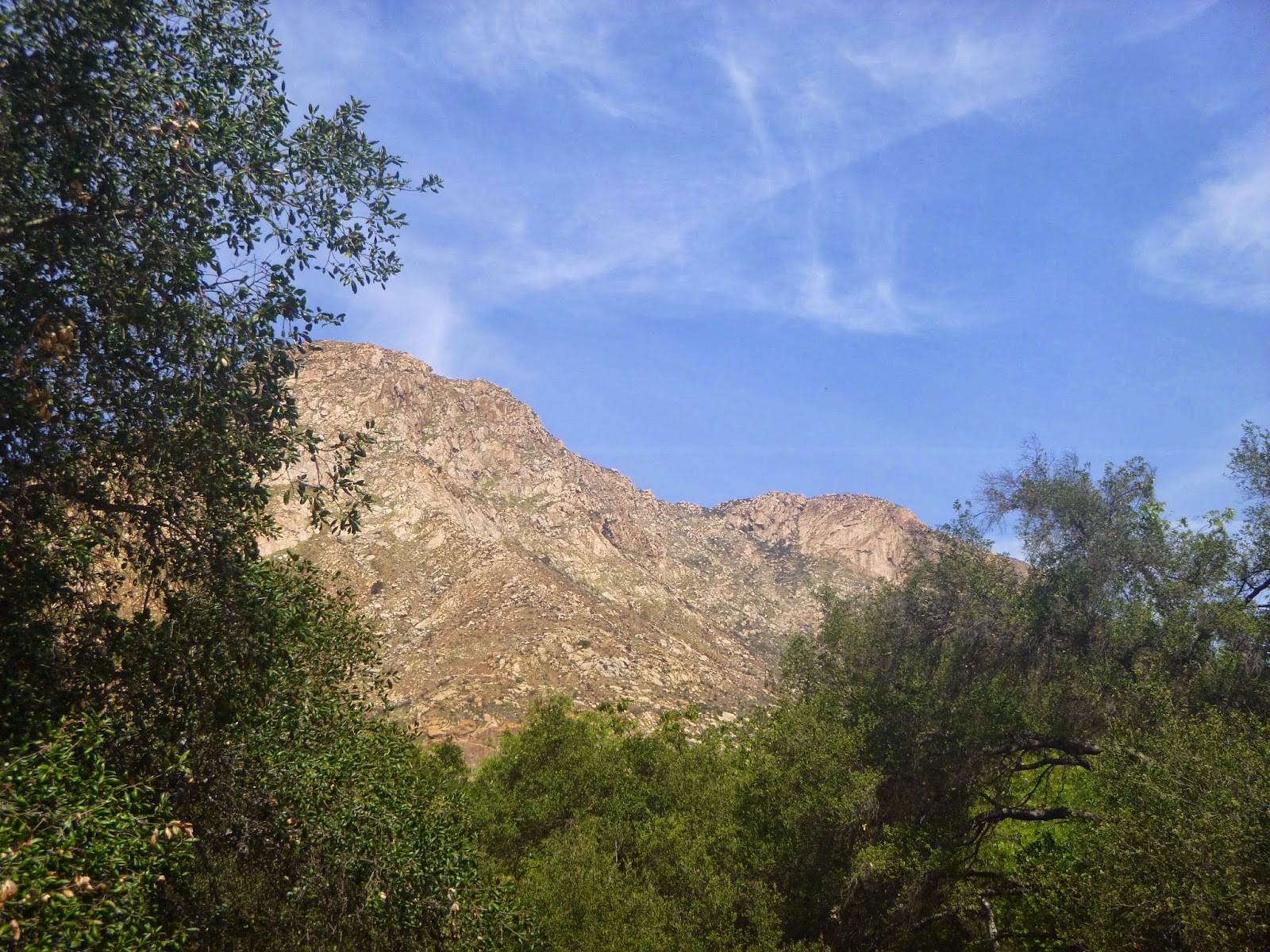 |
| through the trees |
 |
| Every end is a new beginning. |
 |
| On a country road. |
 |
| This is the first place we've seen water in the river since the Channel Blvd bridge. |
As ownership of the road changes, we find a spot to duck into the riverbed and enjoy a snack under the trees. This is also the staging area for many of the rock climbers. Not many folks out today. Perhaps it's because it's not a holiday for everyone (Caesar Chavez Day). It's also relatively late in the day for this crowd. As we've seen in previous weeks, it gets really hot here. The valley is a natural oven and you don't get much evaporative cooling off those rocks, just a lot of re-radiation. This is also a bad year for snakes. The previous week I spotted at least two rattlers, one of which I nearly drove over, the other in the talons of a hawk circling the valley. Whatever the case, we have this grove to ourselves and enjoy a moment of peace here.
 |
| A little grove in the riverbottom. |
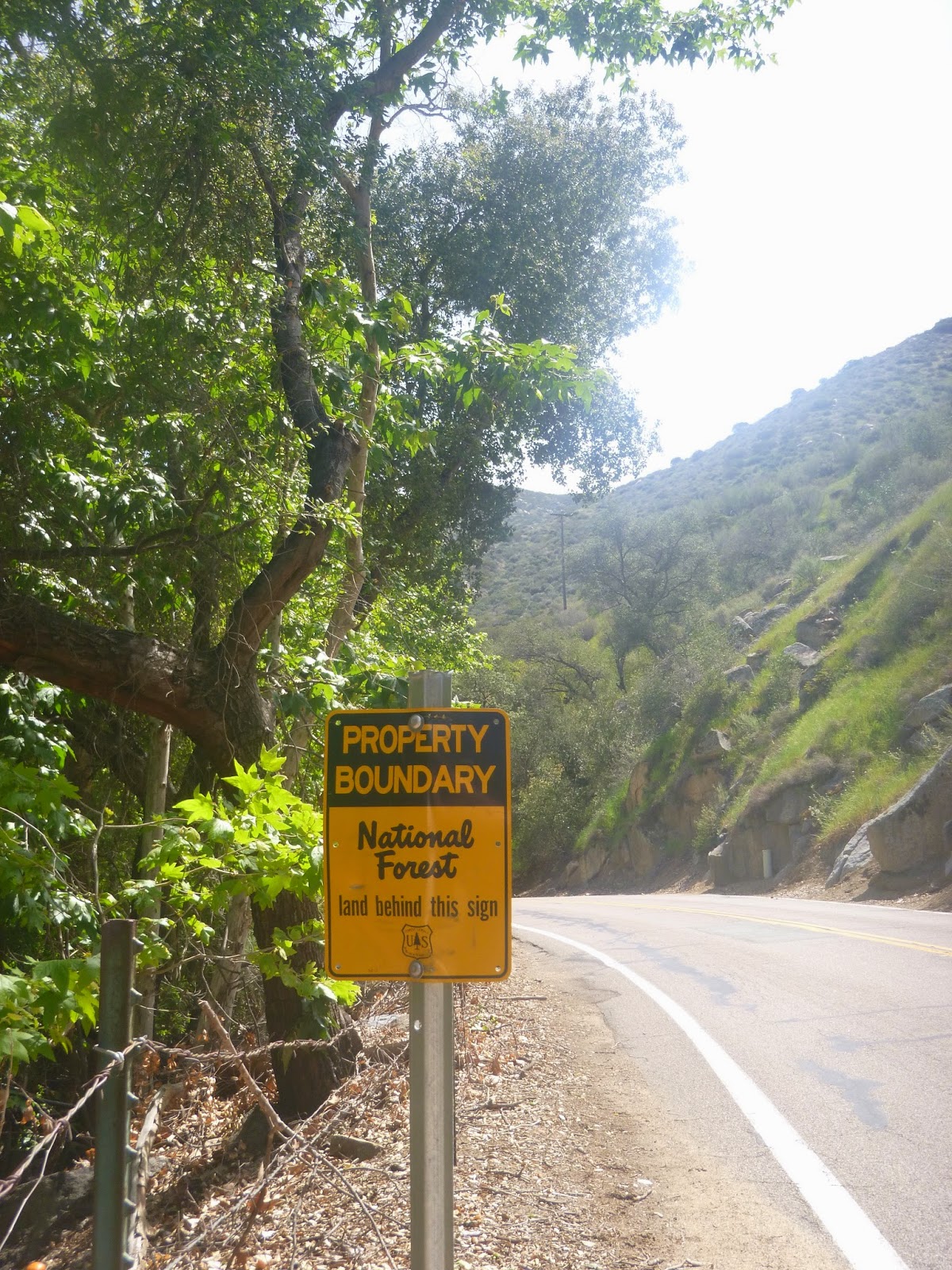 |
| We are entering the wild. |
 |
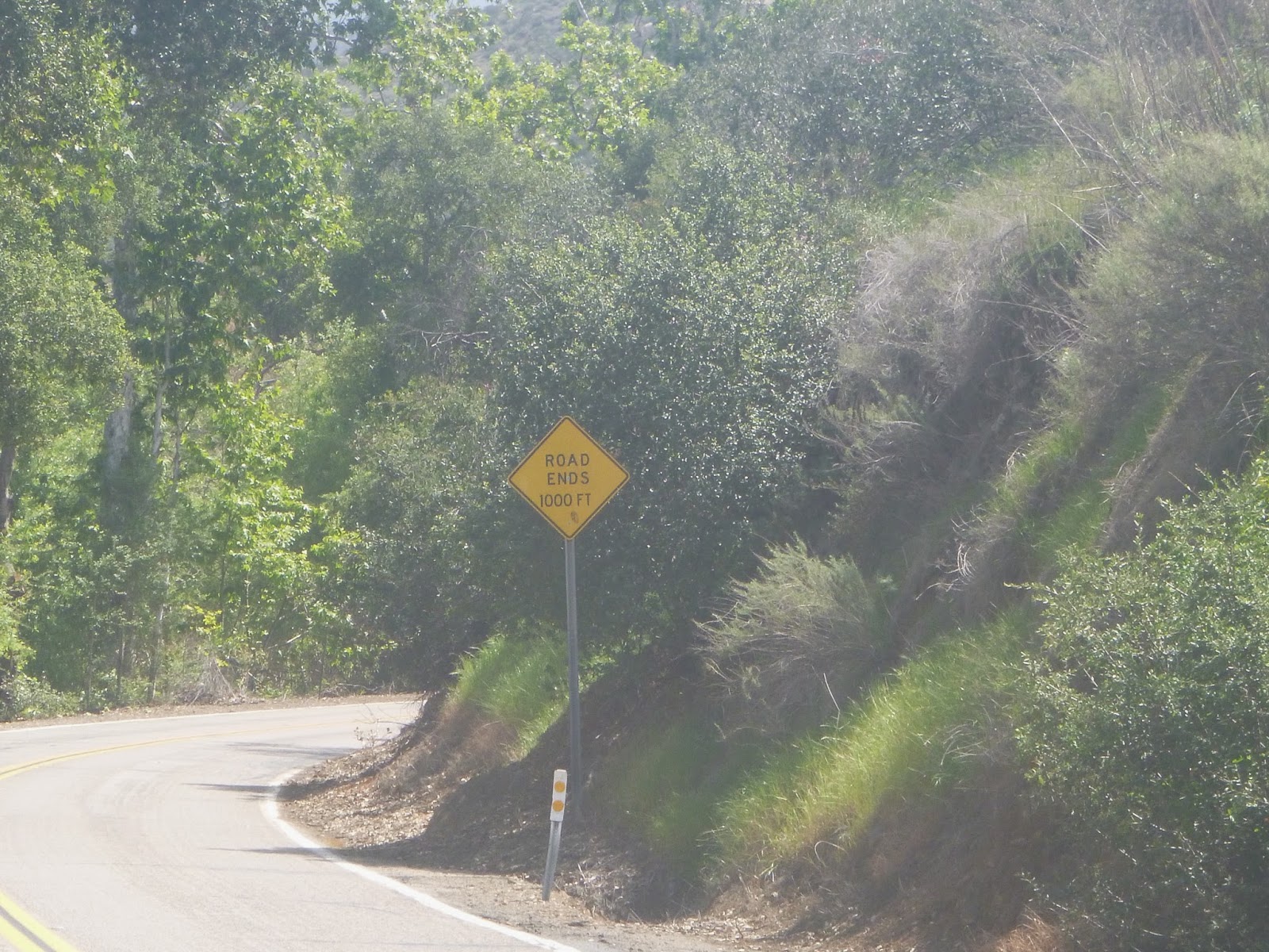
| The road doesn't end it just becomes a different road. |
 |
| Winding up the hill. |
 |
| El Capitan from the east. |
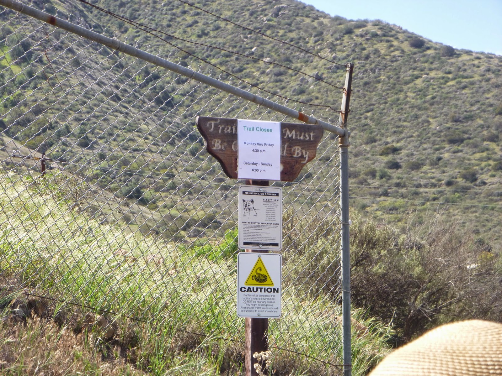
We begin climbing in earnest. Not since the end of week 3 have we gone uphill this much and here, we keep most of the elevation we gain. There is no shoulder anymore, but traffic is going really slow and tends to be good at avoiding us. The views down the valley grow richer and the we feel a breeze on our shoulders. All around us are signs advising us not to get too close to the dam. This lake comprises a large chunk of San Diego's water supply and so they are bit protective of it at least on paper and we did not wish to see the greater extent of their authority. We enjoy the views and the ascent. One highlight is passing a colony of bees along the road. You always hear of bees, but I have never had a problem with them even when very close to their hives. It's a sort of state of mind thing. Be mindful and respectful and the bees will make this world a better place. Snakes too are generally not a problem so long as you are aware of their presence. With snakes however, this can be more difficult as the ones that rattle were mostly hunted out in southern California and the ones that remain don't rattle.
 |
| Rising from the rivebed. |
 |
| Another view of El Capitan and El Cajon mountain. |
 |
| Our last chance to look out at the valley below. |
 |
| Damn! |
Crossing the dam marks the beginning of the final phase of today's walk. Now there is water everywhere. I admire the clarity of it and the fowl and fish who call it home. A few fishermen sit along the shore, maybe catching something, maybe not. I understand that many of the fishermen do not actually intend to catch the fish so much as intend to sit around somewhere scenic and if a fish happens to land on their line, all the better. It's part of the landscape. I can not sit still, so Anita and I keep walking and blogging.
 |
| I mean dam! |
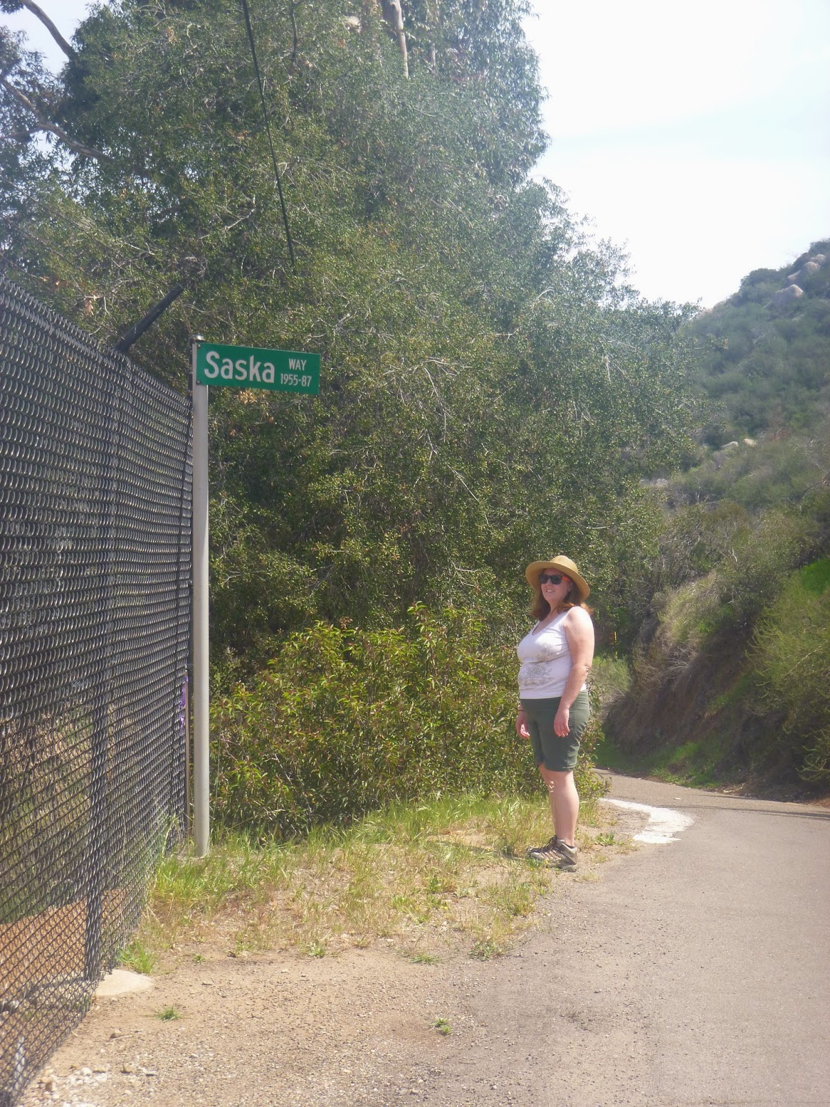 |
| One letter away from being named for me. |
 |
| This looks cool in 3-D. |
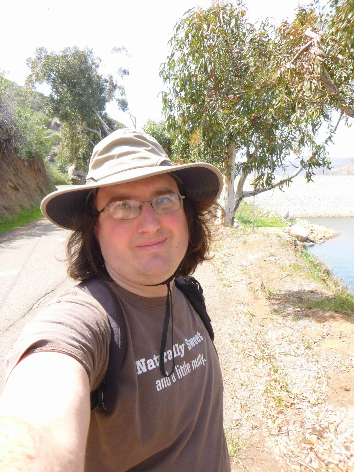 |
| Another selfie, Lookin' goof there. |
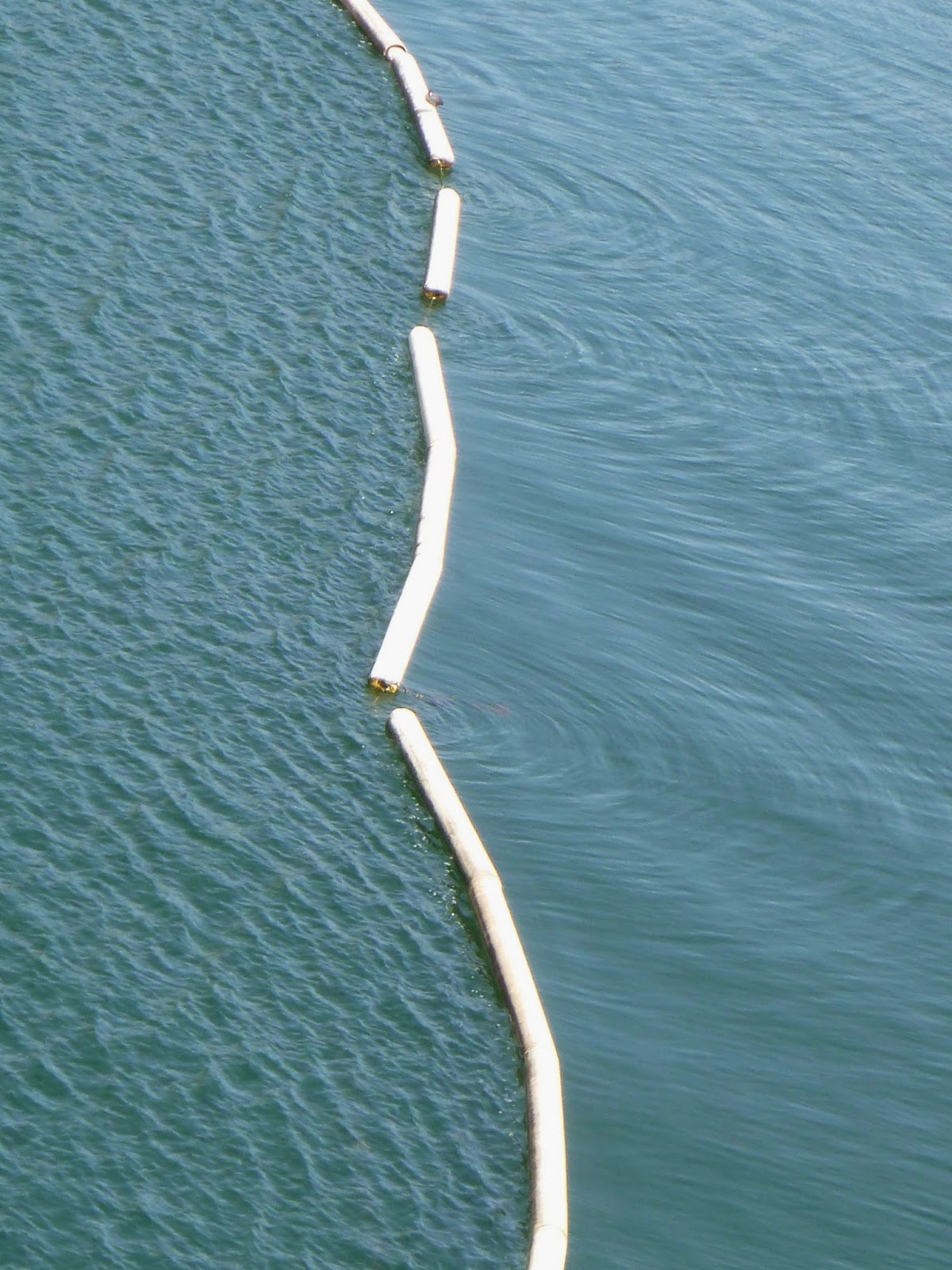 |
| I liked the ripples here. |
 |
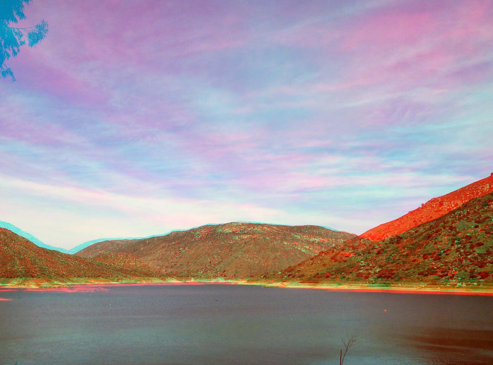
| Mount Cuyamaca comes into view. |
The appearance of Cuyamaca is a welcome sight. We could see it at the river mouth, and through parts of Mission Valley. It represents the headwaters for many of the tributaries that feed this river upstream, and I suspect that most of the precipitation that supplies this river falls on Cuyamaca's western slopes. One of the highest peaks in the county (and the highest easily accessible peak) the journey there is a sight to behold emblematic of all California. That dream of being an hour from the mountains or sea, the views out over the deserts from the pine forests. Very few places have such an abrupt gradient in climates as does California, and I would argue that it is particularly pronounced in San Diego where Ocean Beach, Allied Gardens, Santee, Alpine, Descanso, Mt Laguna can all feel worlds away from one another on the weather alone. It is also culture. There is more contrast from east to west than from north to south these days. Whereas the beach was generally always densely inhabited, along the river we seem to be going deeper into wilder and more distant places, crossing communities that may otherwise not be connected to one another. Remarkable.
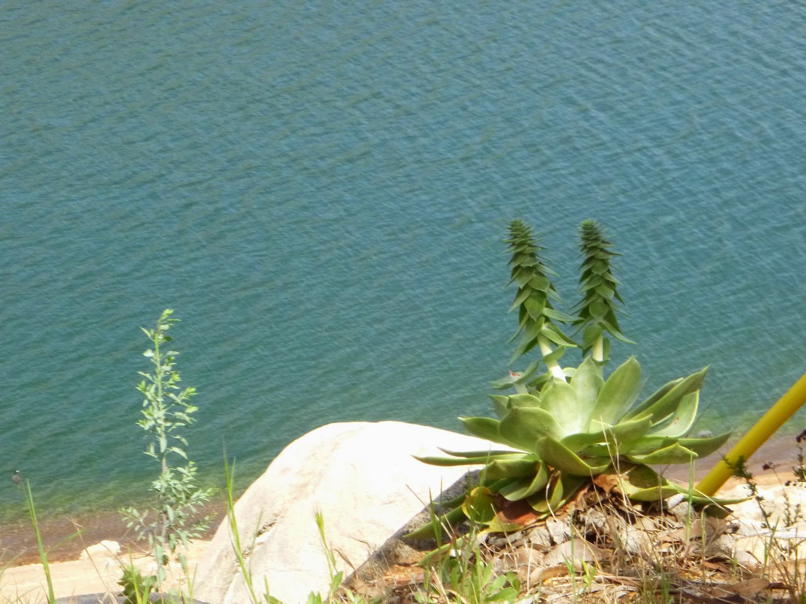 |
| This was a lovely succulent. |
 |
| Another perspective on Cuyamaca. |
 |
| The graceful curve of the bay. |
 |
| The dam. |
 |
| Here we are east of the rock. |
 |
| Check out the bathtub lines. Water is low. |
 |
| 3-D looking up the lake. |
We are in the 22nd worst drought on record for the state and water levels are distressingly low for late March when we'd hope the lake would be overflowing down the spillway. Although going has been easier as a result, one can look at the bathtub rings on the lake and see things were once wetter not so long ago. Some of the streaks are also quite white, representing deposits of
Quagga Mussels, a freshwater bivalve native to Ukraine that is now a nasty invasive in the lakes and waterways of the US. They apparently wreak havoc, by eating more than their share of phytoplankton and disrupting the food web. There is no easy way to get rid of them once present, they have few predators here. Their larvae are particularly prolific and hard to detect. The current approach is to try and limit their spread. All around the park are signs detailing the what needs to be done by boaters and what fish and game will do if one does not do prevent the spread of these invasives. Fascinating times we live in.
 |
| Lots of yellows against the deep blue. |
 |
| Along the shoreline. |
 |
| Quagga mussels. |
 |
| Anita negotiating the bathtub rings. |
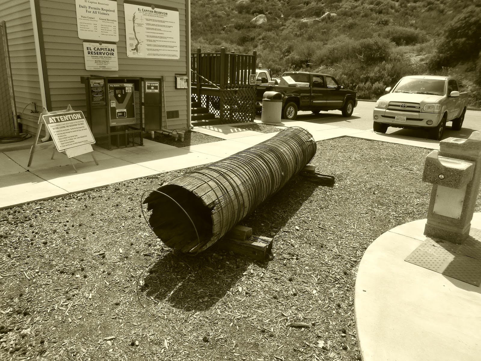
We reach the boat dock and the car. We had considered pressing onward and renting a boat, but time is not on our side and I try not rush things. Anyway the boat rental concession doesn't open till next week so it almost seems as if our timing is perfect. It is getting warm so we do not linger, instead heading home before Friday rush hour. We are at the end of the road now. The next couple of episodes will all be of a different nature as we immerse ourselves into the wilds. Look forward to it all.
 |
| An old floatie. |
 |
| An even older floatie. |
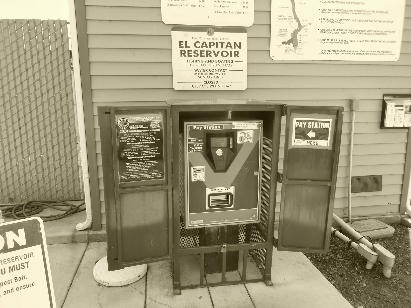 |
| Our walk for today ends here. If you like dollar coins this machine is your friend. |